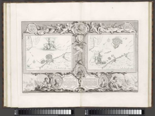
Maps of the Spanish Armada (28 and 31 July 1588)
From the collection of Rijksmuseum, Amsterdam. Free to download, adapt and use — no permission needed.
Two maps (IX-X) with the Spanish and English fleets in the Channel near the Strait of Dover. On the left map a wild man sits on a rock holding two burning torches in his hands. Next to him a putto on a fish with a coat of arms and thunderbolt in hand. On the other side smoking urns. On the right map Fame sits on a rock. She blows on a trumpet and holds the coat of arms of Charles Howard, the Lord High Admiral and commander-in-chief of the English fleet against the Spanish Armada. The maps are set within an ornamental frame. At the top of the frame a coin with the portrait of Queen Elizabeth I, flanked by four putti. The coin to the left of it was minted in Zeeland and shows the Spanish ships in a storm with a sun breaking through. On the coin to the right four kneeling and praying persons. Hanging from the coat of arms, below the portrait of Elizabeth, a chain with which the English queen keeps Pope Sixtus V, the Spanish King Philip II and Alessandro Farnese in check.
Rijksmuseum, Amsterdam’s own descriptionSimilar works
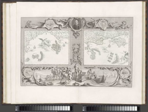 Maps of the Spanish Armada (22 and 24 July 1588)
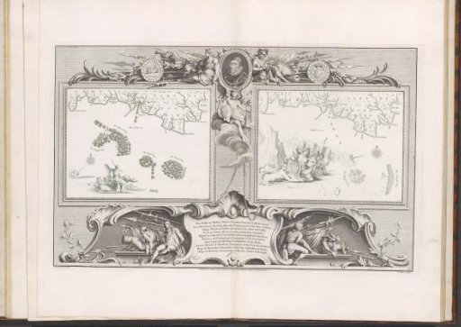 Maps of the Spanish Armada (21 and 22 July 1588)
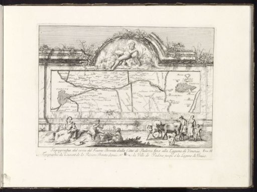 Map of the catchment area of the Brenta River
 Title page with armorial trophies
 Cartouche with a frame of scrollwork, decorated with birds and artist's trophies
 Romulus founds the city of Rome / Acron and his soldiers attack Rome