Public domain
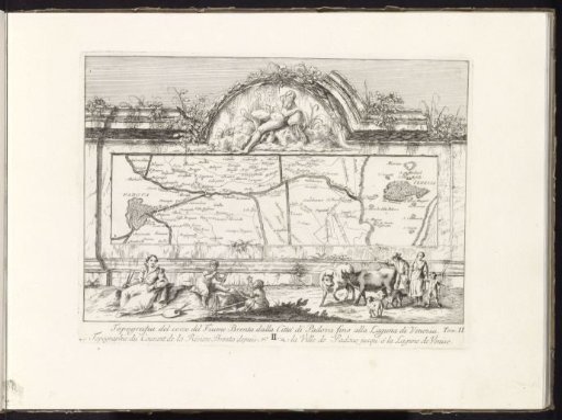
Map of the catchment area of the Brenta River
From the collection of Rijksmuseum, Amsterdam. Free to download, adapt and use — no permission needed.
About this work
A wall with a map of the Brenta river basin. Above, a relief of a river god (the Brenta). In front of the wall, a woman and two children with measuring instruments sit, and a shepherd's family with two cows and two sheep walks by. Numbered in the center below: II and in the lower right: Tom: II. This print is part of an album.
Rijksmuseum, Amsterdam’s own descriptionSubjects
Credit lineKaart met het stroomgebied van de rivier de Brenta. c. 1750 - c. 1760. Giovanni Francesco Costa. Rijksmuseum, Amsterdam. Public domain.
Similar works
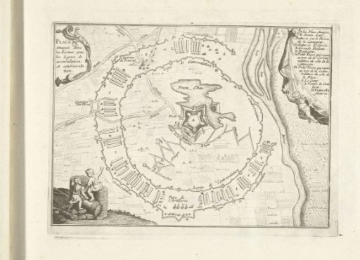 Schematic representation of a hypothetical siege, 1726
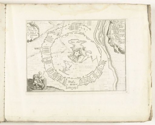 Schematic representation of a hypothetical siege, c. 1702
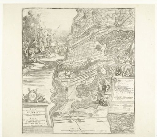 Battle of Höchstädt, 1704
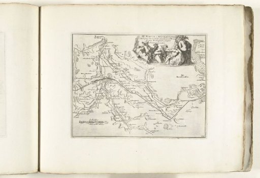 Map of the new canal from Pontgouin to Versailles (part II), ca. 1702
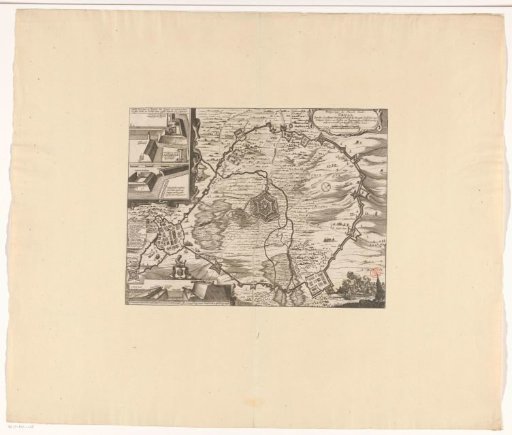 Map of the siege of Groenlo by Frederick Henry, 1627
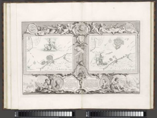 Maps of the Spanish Armada (28 and 31 July 1588)