Public domain
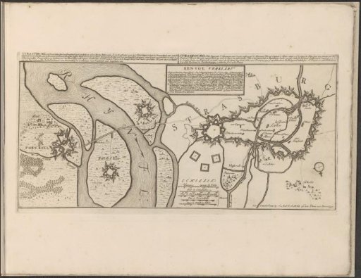
Map of Strasbourg
From the collection of Rijksmuseum, Amsterdam. Free to download, adapt and use — no permission needed.
About this work
Map of the fortifications around the German city of Strasbourg. The river Rhine on the left. With texts in Dutch and French. The print is part of an album.
Rijksmuseum, Amsterdam’s own descriptionCredit linePlattegrond van Straatsburg. 1701 - 1733. Rijksmuseum, Amsterdam. Public domain.
Similar works
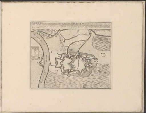 Plan of Philippsburg
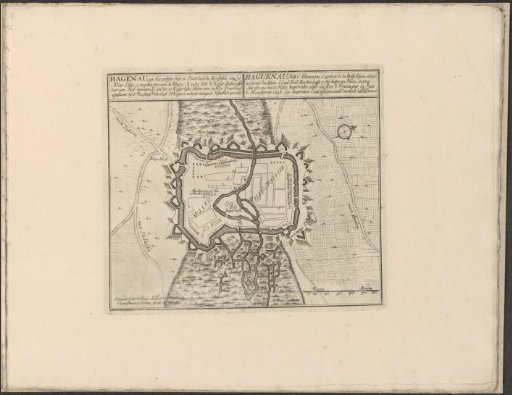 Map of Haguenau
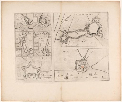 Fortress plans of Steenbergen, Fort Lillo, Fort Sint-Ambrosius, Fort Sint-Martijn, the Kruisdijkschans, Fort Sint-Jacob, Fort Stabroek, Fort van Pekgat and Fort Noordam
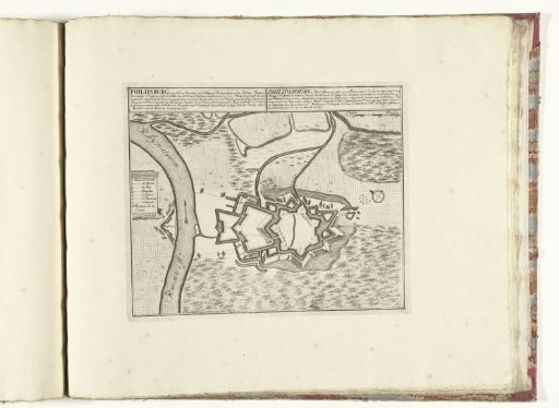 Plan of Philippsburg, ca. 1701-1713
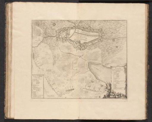 Breaking through the French lines in Brabant, 1705
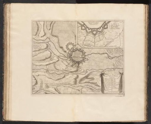 Plan of Landau, 1704