Public domain
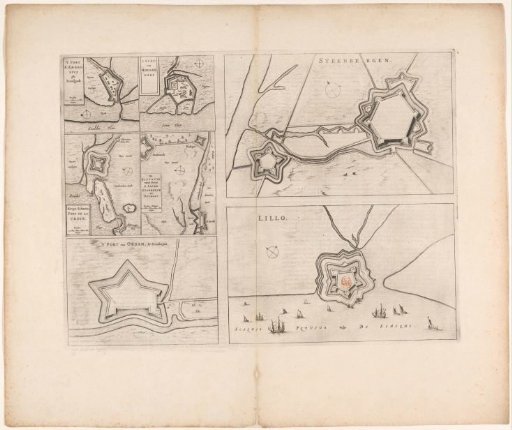
Fortress plans of Steenbergen, Fort Lillo, Fort Sint-Ambrosius, Fort Sint-Martijn, the Kruisdijkschans, Fort Sint-Jacob, Fort Stabroek, Fort van Pekgat and Fort Noordam
From the collection of Rijksmuseum, Amsterdam. Free to download, adapt and use — no permission needed.
About this work
On the left side of the sheet, five smaller plans of seven forts in Zeelandic Flanders, Flanders, and Brabant, each with a scale bar. Visible are: Fort Sint-Ambrosius, Fort Sint-Martijn, the Kruisdijk Schans, Fort Sint-Jacob, Fort van Stabroek, Fort Pekgat, and Fort Noordam. Top right: a fortification plan of Steenbergen. Below: scale bar: Scale of 100 Rods. Bottom right: a fortification plan of Fort Lillo. Left: scale bar: Scale of 100 Rods. On verso: Dutch text.
Rijksmuseum, Amsterdam’s own descriptionCredit lineVestingplattegronden van Steenbergen, Fort Lillo, Fort Sint-Ambrosius, Fort Sint-Martijn, de Kruisdijkschans, Fort Sint-Jacob, Fort Stabroek, Fort van Pekgat en Fort Noordam. 1652. anonymous. Rijksmuseum, Amsterdam. Public domain.
Similar works
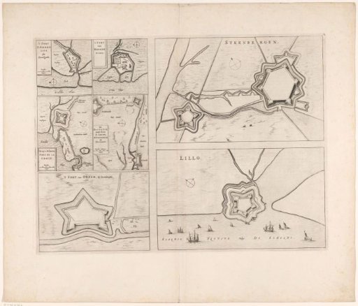 Fortress plans of Steenbergen, Fort Lillo, Fort Sint-Ambrosius, Fort Sint-Martijn, the Kruisdijkschans, Fort Sint-Jacob, Fort Stabroek, Fort van Pekgat and Fort Noordam
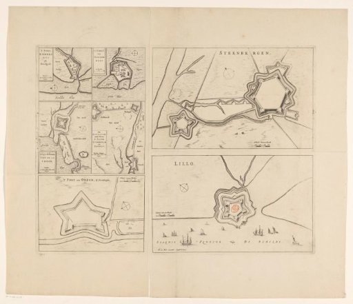 Fortress plans of Steenbergen, Fort Lillo, Fort Sint-Ambrosius, Fort Sint-Martijn, de Kruisdijkschans, Fort Sint-Jacob, Fort Stabroek, Fort van Pekgat and Fort Noordam
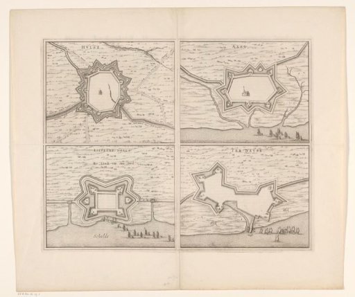 Fortress map of Hulst, Liefkenshoek, Axel and Terneuzen
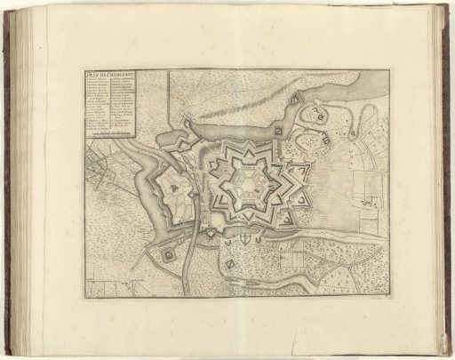 Plan of Charleroi, 1709
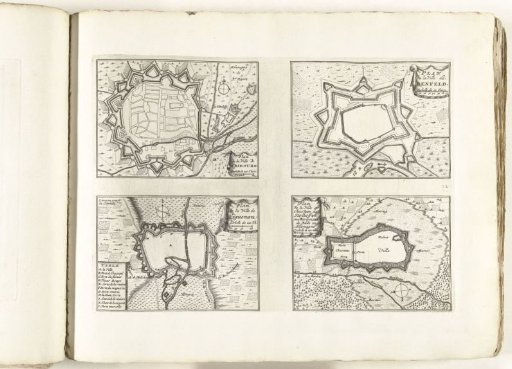 Maps of Fribourg, Benfeld, Haguenau, and Stollhofen, ca. 1702
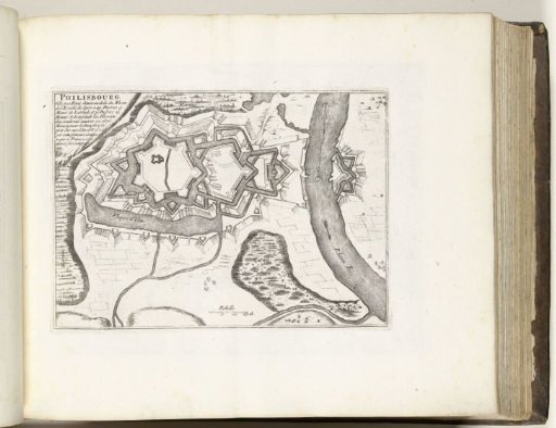 Map of Philippsburg, ca. 1695