Public domain
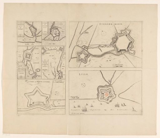
Fortress plans of Steenbergen, Fort Lillo, Fort Sint-Ambrosius, Fort Sint-Martijn, de Kruisdijkschans, Fort Sint-Jacob, Fort Stabroek, Fort van Pekgat and Fort Noordam
From the collection of Rijksmuseum, Amsterdam. Free to download, adapt and use — no permission needed.
About this work
On the left side of the sheet, five smaller plans of seven forts in Zeelandic Flanders, Flanders, and Brabant, each with a scale bar. Visible are: Fort Sint-Ambrosius, Fort Sint-Martijn, de Kruisdijkschans, Fort Sint-Jacob, Fort van Stabroek, Fort Pekgat, and Fort Noordam. Above, on the right side of the sheet, a fortress plan of Steenbergen. Below, a scale bar: Schale van 100 Roede. Below, on the right side of the sheet, a fortress plan of Fort Lillo. On the left, a scale bar: Schale van 100 Roede.
Rijksmuseum, Amsterdam’s own descriptionCredit lineVestingplattegronden van Steenbergen, Fort Lillo, Fort Sint-Ambrosius, Fort Sint-Martijn, de Kruisdijkschans, Fort Sint-Jacob, Fort Stabroek, Fort van Pekgat en Fort Noordam. 1649. anonymous. Rijksmuseum, Amsterdam. Public domain.
Similar works
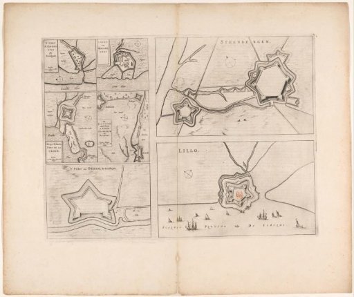 Fortress plans of Steenbergen, Fort Lillo, Fort Sint-Ambrosius, Fort Sint-Martijn, the Kruisdijkschans, Fort Sint-Jacob, Fort Stabroek, Fort van Pekgat and Fort Noordam
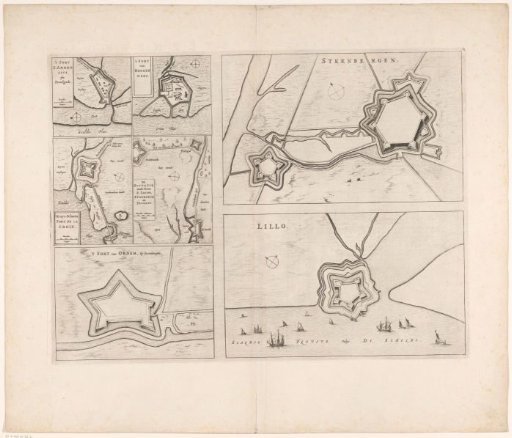 Fortress plans of Steenbergen, Fort Lillo, Fort Sint-Ambrosius, Fort Sint-Martijn, the Kruisdijkschans, Fort Sint-Jacob, Fort Stabroek, Fort van Pekgat and Fort Noordam
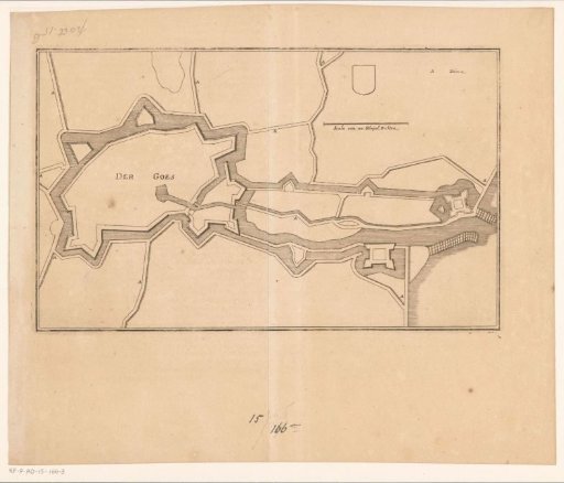 Fortress plan of Goes
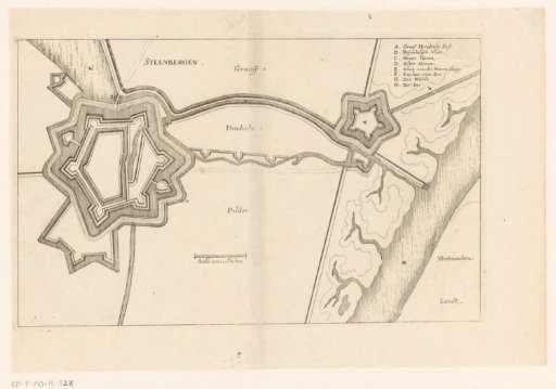 Fortress plan of Steenbergen
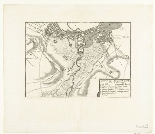 Siege of Bergen, 1709
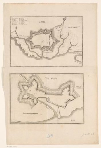 Fortress plans of Axel and Terneuzen