Public domain
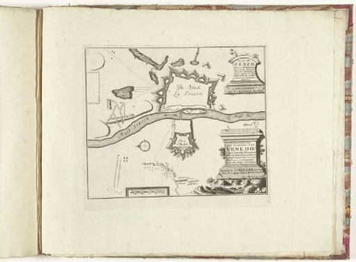
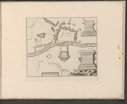
Map of the fortifications of Venlo
From the collection of Rijksmuseum, Amsterdam. Free to download, adapt and use — no permission needed.
About this work
Map of the fortifications around and near the city of Venlo. After siege, passed to the United Netherlands, September 23 1702. With texts in Dutch and French. The print is part of an album.
Rijksmuseum, Amsterdam’s own descriptionCredit linePlattegrond van de vestingen van Venlo. 1702 - 1733. Abraham Allard. Rijksmuseum, Amsterdam. Public domain.