Public domain
Two maps of the Battle of the Saintes, 1782
From the collection of Rijksmuseum, Amsterdam. Free to download, adapt and use — no permission needed.
About this work
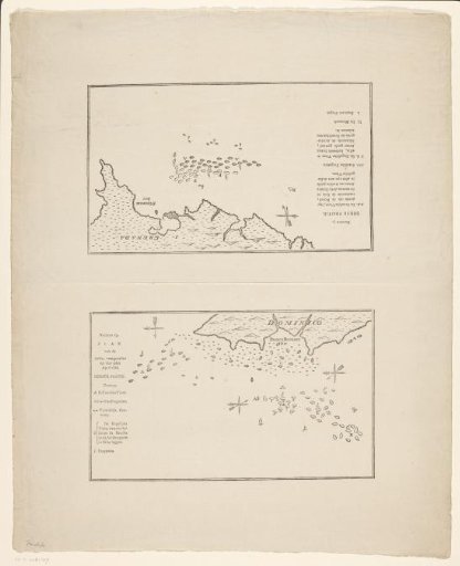
Sheet with two maps of the sea battle at the Îles des Saintes on 9 April 1782, between the French and the English fleet. The battle is part of the American War of Independence. One map designated as 'Numero 13' shows the positions of the fleets in front of the island of Dominica. The other map designated as 'Numero 3' shows the fleets near Grenada.
Rijksmuseum, Amsterdam’s own descriptionCredit lineTwee kaarten van de Slag bij de Îles des Saintes, 1782. 1792 - 1825. anonymous. Rijksmuseum, Amsterdam. Public domain.