Public domain
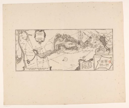
Map of the siege of Bergen op Zoom, 1622
From the collection of Rijksmuseum, Amsterdam. Free to download, adapt and use — no permission needed.
About this work
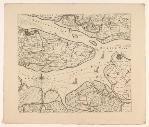
Map of the failed siege of Bergen op Zoom by the Spanish army under Spinola and Velasco, 18 July - 3 October 1622. Map of Bergen op Zoom with the area up to Steenbergen. Top left: cartouche with Latin title. Bottom right: inset with the plan of Fort Pinsen (Castra Pinsii). Left of the inset: Dutch-Latin word explanation. Bottom left: scale bar: 900 Virgae Rhijnlandicae / 900 Rhijnlandsche Roeden. The map is provided with a coordinate grid and degree division.
Rijksmuseum, Amsterdam’s own descriptionCredit lineKaart van het beleg van Bergen op Zoom, 1622. 1636. Franciscus van Schooten (I), anonymous. Rijksmuseum, Amsterdam. Public domain.