Public domain
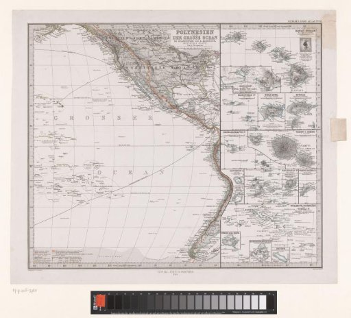
Map of Polynesia and the Great Ocean with a Part of North America
From the collection of Rijksmuseum, Amsterdam. Free to download, adapt and use — no permission needed.
About this work
Numbered 52 in the upper right.
Rijksmuseum, Amsterdam’s own descriptionSubjects
Credit lineKaart van Polynesië en de Grote Oceaan met een deel van Noord-Amerika. 1869. Carl Stier. Rijksmuseum, Amsterdam. Public domain.
Similar works
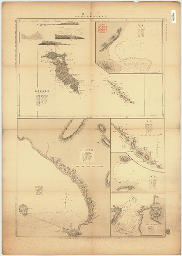 Bering Sea, Commander Islands, East Coast of Kamchatka
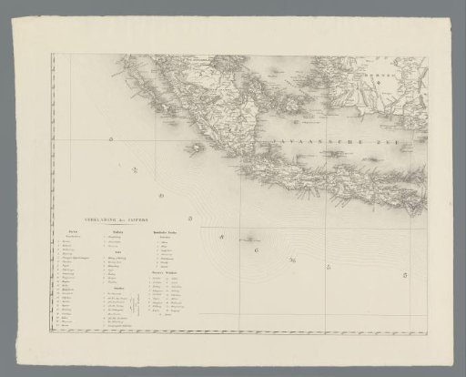 Map of the Dutch East Indies, Bottom Left Section
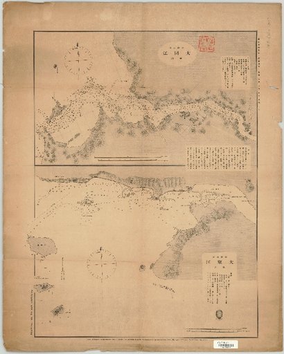 Taedong River, West Coast of Chosen; Dae-dong River: West Coast of Chosen
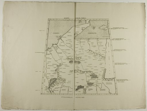 Quarta Europe Tabula: Ptolemaeus Romae 1490
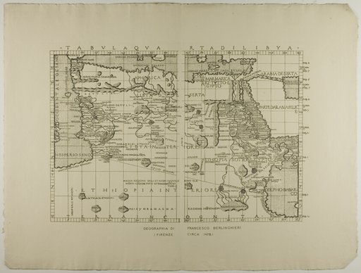 Map of Libya, the Middle East and North Africa
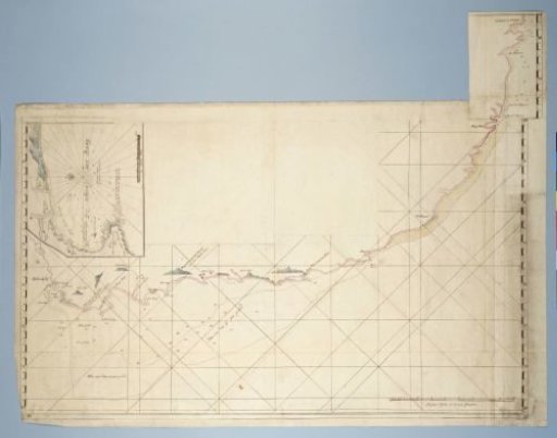 Map of the Coast from Saldanha Bay to Richard's Bay, with a Detailed Map of Mossel Bay Inserted