Public domain
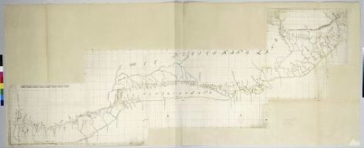
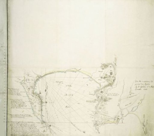
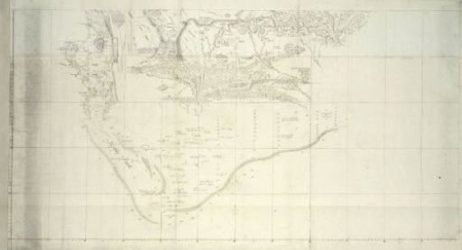
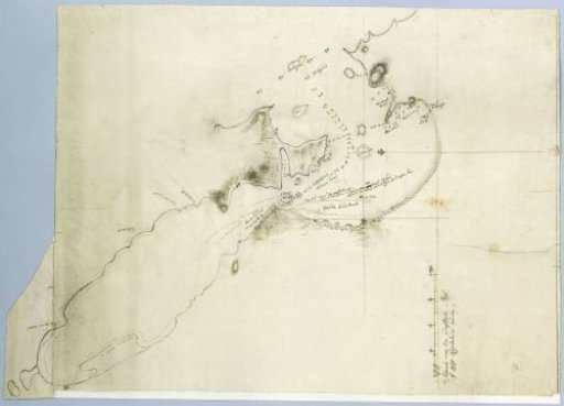
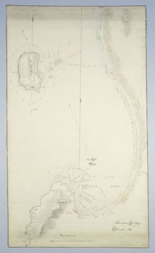
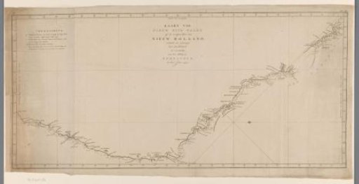
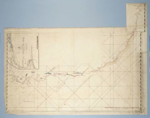
Map of the Coast from Saldanha Bay to Richard's Bay, with a Detailed Map of Mossel Bay Inserted
From the collection of Rijksmuseum, Amsterdam. Free to download, adapt and use — no permission needed.
About this work
The map covers the coastline from Saldanha Bay in the west to Richards Bay in the east; accessible via a guide map divided into left and right halves, numbered I and II, with latitudes; the detail map of Mossel Bay is divided into an upper and lower half, numbered A and B.
Rijksmuseum, Amsterdam’s own descriptionSubjects
Credit lineMap of the Coast from Saldanha Bay to Richard’s Bay, with a detailed map of Mossel Bay inserted. c. 1777-10 - 1778-03. Rijksmuseum, Amsterdam. Public domain.