Public domain
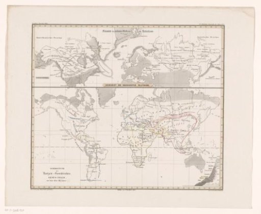
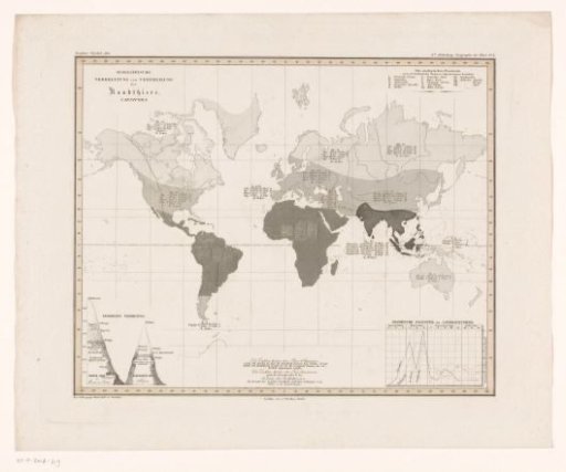
World map showing the density of predators per area
From the collection of Rijksmuseum, Amsterdam. Free to download, adapt and use — no permission needed.
About this work
World map showing the density of carnivores per geographical area. Top left, the title. Bottom left, a schematic representation of Chimborazo and Mont Blanc. The map is provided with a degree division along the edges. Marked at top right: 6te Abteilung: Geographia der Thiere N.2.
Rijksmuseum, Amsterdam’s own descriptionCredit lineWereldkaart met de dichtheid van roofdieren per gebied. 1845 - 1848. anonymous. Rijksmuseum, Amsterdam. Public domain.