Public domain
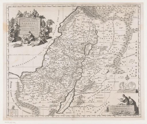
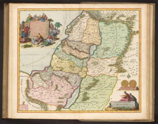
Map of the Holy Land
From the collection of Rijksmuseum, Amsterdam. Free to download, adapt and use — no permission needed.
About this work
Map of the division of the Holy Land among the twelve tribes and the travels of Christ through the country. Top left: a cartouche with the title and figures of Christ healing the sick. Bottom right: a person seated on a stone drawing; above, both sides of a coin 'the shekel'. Top right: 'In the New Testament, page 20'. Fold-out map in the second part of the picture Bible with the New Testament, published by Pieter Mortier, Amsterdam 1700.
Rijksmuseum, Amsterdam’s own descriptionCredit lineKaart van het Heilige Land. 1700. Dirk Janszoon van Santen. Rijksmuseum, Amsterdam. Public domain.