Public domain
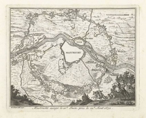
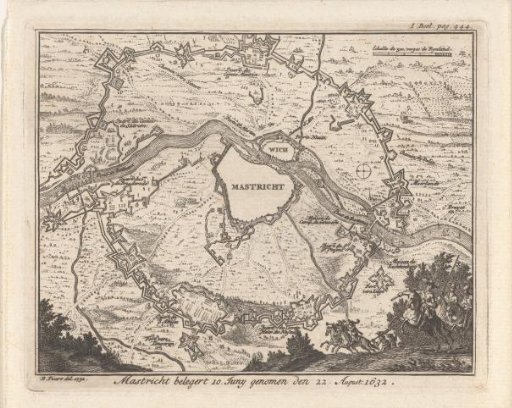
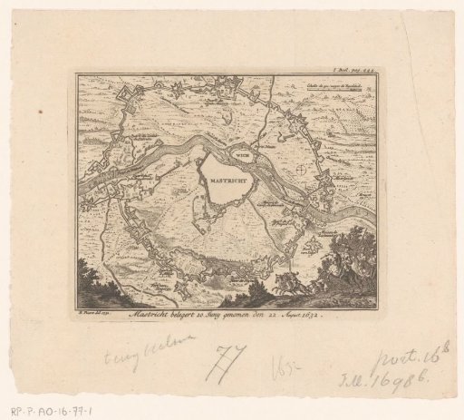
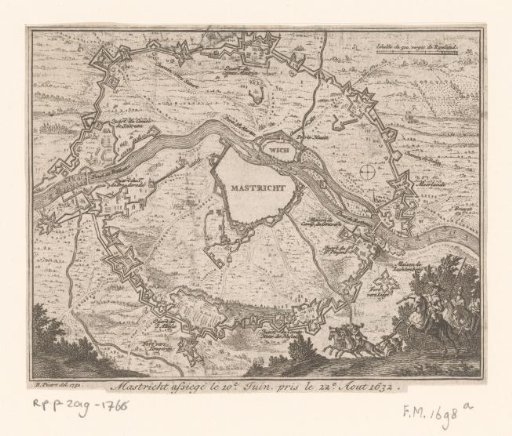
Map of the Siege of Maastricht, 1632
From the collection of Rijksmuseum, Amsterdam. Free to download, adapt and use — no permission needed.
About this work
Map of the siege of Maastricht by the States Army under stadtholder Frederik Hendrik, 9 June to 21 August 1632. Encirclement of the city with the various army camps of the besiegers. Bottom right the stadtholder with officers on horseback.
Rijksmuseum, Amsterdam’s own descriptionCredit lineKaart van de belegering van Maastricht, 1632. 1732 - 1733. Bernard Picart. Rijksmuseum, Amsterdam. Public domain.