Public domain
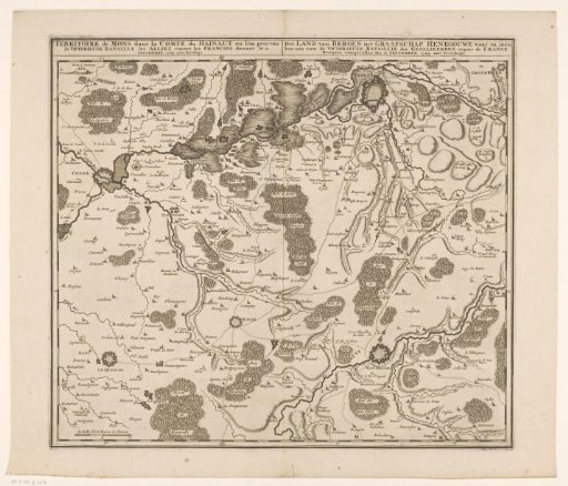
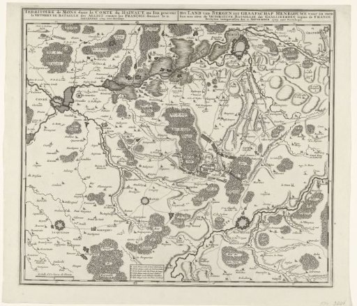
Map of the Battle of Malplaquet, 1709
From the collection of Rijksmuseum, Amsterdam. Free to download, adapt and use — no permission needed.
About this work
Map of the region in Hainaut between Mons (Bergen), Condé and Maubeuge with the Battle of Malplaquet between the Allies under the Duke of Marlborough and the Prince of Savoy and the French, 11 September 1709. At the bottom a cartouche with a list of the six attacks. Bottom left a scale: Echelle d'Un heures de Chemin. The map is provided with a degree distribution along the edges.
Rijksmuseum, Amsterdam’s own descriptionCredit lineKaart met de slag bij Malplaquet, 1709. 1709. anonymous. Rijksmuseum, Amsterdam. Public domain.