Public domain
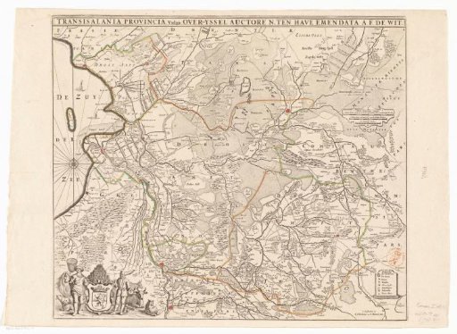
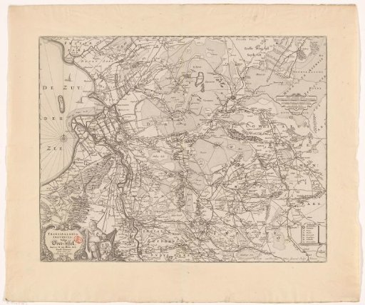
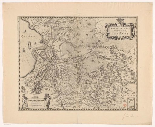
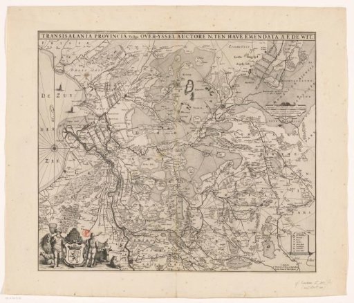
Map of Overijssel
From the collection of Rijksmuseum, Amsterdam. Free to download, adapt and use — no permission needed.
About this work
In the lower left a cartouche with the coat of arms of Overijssel, surrounded by a fisherman and a peat cutter, peat and cattle. In the upper right three scale bars: Miliare Germanicum commune / 2 Dutch miles of 15 in a league, each containing 2000 Rhenish rods, 2 hours' walk containing 1500 Rhenish rods, 2000 Rhenish rods. In the lower right a legend.
Rijksmuseum, Amsterdam’s own descriptionCredit lineKaart van Overijssel. 1655 - 1706. anonymous. Rijksmuseum, Amsterdam. Public domain.