Public domain
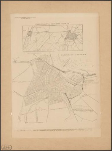
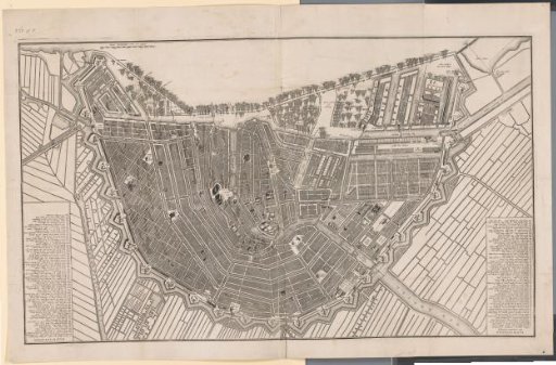
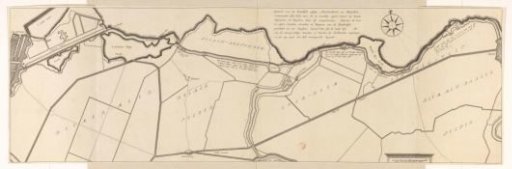
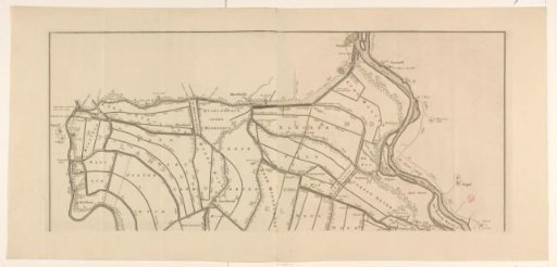
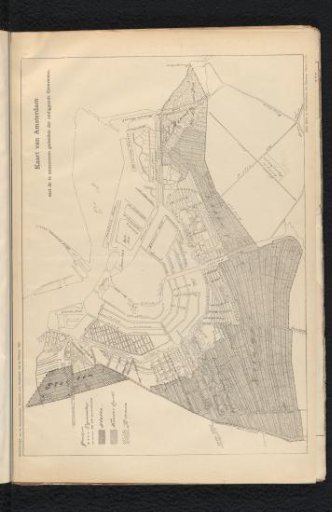
Map of Amsterdam with the Surrounding Municipalities to be Annexed
From the collection of Rijksmuseum, Amsterdam. Free to download, adapt and use — no permission needed.
About this work
Map of the planned extension of Amsterdam, 1896.
Rijksmuseum, Amsterdam’s own descriptionSubjects
Credit lineKaart van Amsterdam met de te annexeeren gedeelten der omliggende Gemeenten. 1896-02-23. anonymous. Rijksmuseum, Amsterdam. Public domain.