Public domain
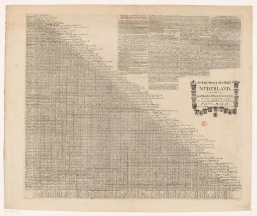
Distance table for important cities of the Seventeen Provinces and the Prince-Bishopric of Liège to Paris
From the collection of Rijksmuseum, Amsterdam. Free to download, adapt and use — no permission needed.
About this work
On the left, a distance table showing the walking hours between the major cities of the Seventeen Provinces, the Prince-Bishopric of Liège, and Paris. On the top right, a text panel containing historical information about the Seventeen Provinces in Dutch, below which is an instruction for using the distance table in Dutch and French. On the right, the title surrounded by the coats of arms of the Seventeen Provinces and the Prince-Bishopric of Liège.
Rijksmuseum, Amsterdam’s own descriptionSubjects
Credit lineAfstandstabel voor belangrijke steden uit de Zeventien Provinciën en prinsbisdom Luik tot aan Parijs. 1686 - 1725. Rijksmuseum, Amsterdam. Public domain.
Similar works
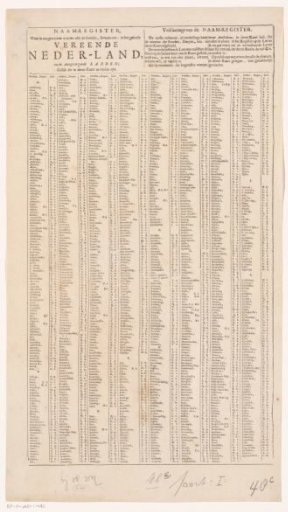 Register of all villages and towns to be found on the accompanying map (left sheet)
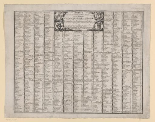 Sheet with the routes to and from various major cities in Western Europe
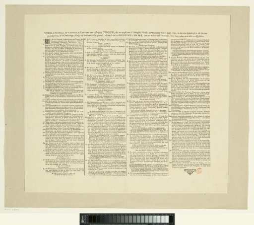 Explanation of the prints of the fireworks in The Hague for the Peace of Aachen, 1749
 Dutch Newspaper, 10 May 1784
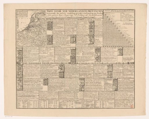 Map of the Seventeen Provinces with Explanation
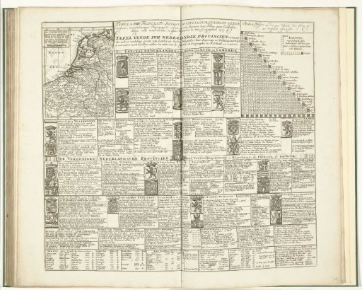 Theatre of War (sheet XXXV), 1707