Public domain
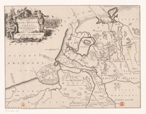
Historical map of the Netherlands with the territories of the Batavians and Frisians
From the collection of Rijksmuseum, Amsterdam. Free to download, adapt and use — no permission needed.
About this work
Cartouche with title in the upper left, around it weapons and Germanic warriors depicted (possibly Batavians and Frisians), in the background a battle scene. Scale bar below cartouche: Dodrans gradus seu M.P. XLV.
Rijksmuseum, Amsterdam’s own descriptionCredit lineHistorische kaart van Nederland met de gebieden van de Bataven en Friezen. 1697 - 1700. Jan Luyken. Rijksmuseum, Amsterdam. Public domain.
Similar works
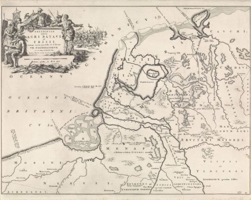 Historical map of the Netherlands at the time of the Batavians and the Frisians II
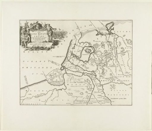 Historical map of the Netherlands with the territories of the Batavians and Frisians
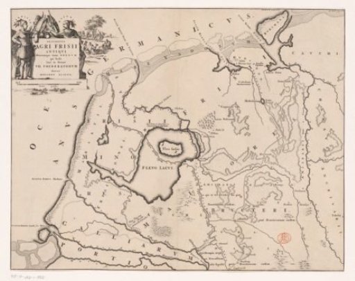 Historical map of the Netherlands with the territories of the Batavians and Frisians
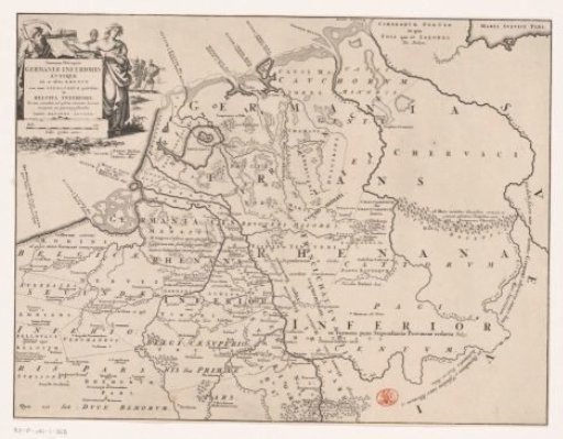 Historical map of the Netherlands with the territories of the Batavians and Frisians
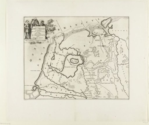 Historical map of the Netherlands with the territories of the Batavians and Frisians
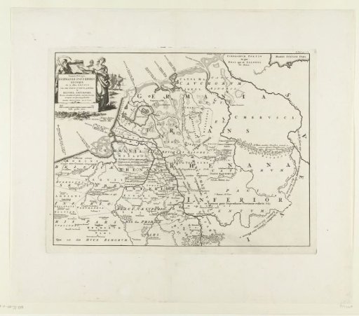 Historical map of the Netherlands with the territories of the Batavians and Frisians