Public domain
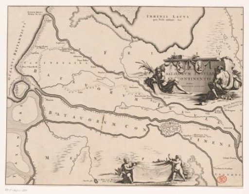
Historical map of the Netherlands with the territories of the Batavians and Frisians
From the collection of Rijksmuseum, Amsterdam. Free to download, adapt and use — no permission needed.
About this work
Map of the Batavian and Frisian areas in Roman times. Cartouche with two river gods, title and portraits of Cananefates leader Brinio and Batavian leader Claudius Civilis on the right. Scale bar with two putti at the bottom: Quadrans gradus seu millia passum XV.
Rijksmuseum, Amsterdam’s own descriptionCredit lineHistorische kaart van Nederland met de gebieden van de Bataven en Friezen. 1697 - 1700. Jan Goeree. Rijksmuseum, Amsterdam. Public domain.
Similar works
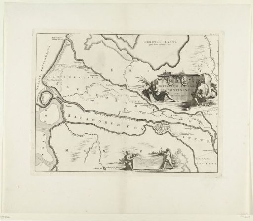 Historical map of the Netherlands with the territories of the Batavians and Frisians
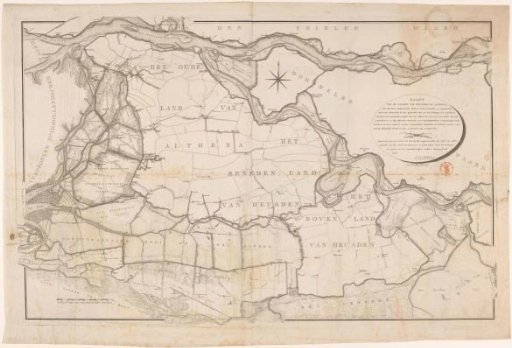 Map of the Land of Heusden and Altena
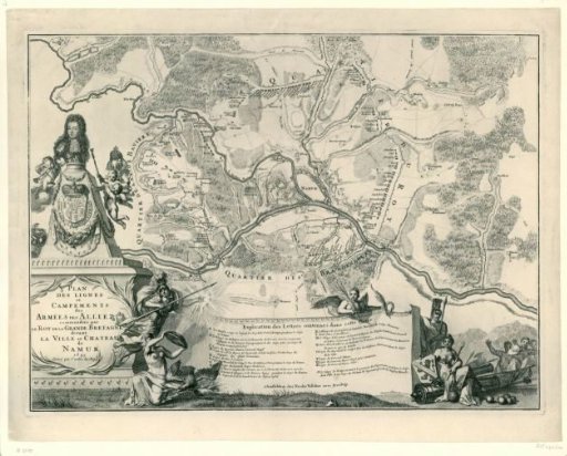 Map showing the positions of the allies under William III during the siege of Namur, 1695
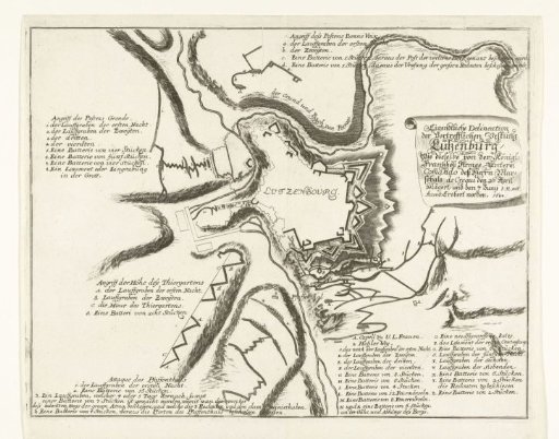 Siege of Luxembourg by the French, 1684
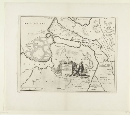 Historical map of the Netherlands with the territories of the Batavians and Frisians
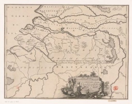 Historical map of the Netherlands with the territories of the Batavians and Frisians