Public domain
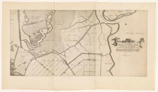
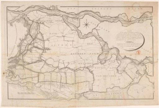
Map of the Land of Heusden and Altena
From the collection of Rijksmuseum, Amsterdam. Free to download, adapt and use — no permission needed.
About this work
Map of the Land of Heusden and Altena. Right: title cartouche. Bottom left: scale bar: Scale of 1000 Rhynland Rods.
Rijksmuseum, Amsterdam’s own descriptionCredit lineKaart van het Land van Heusden en Altena. 1798. Daniël Veelwaard (I). Rijksmuseum, Amsterdam. Public domain.