Public domain
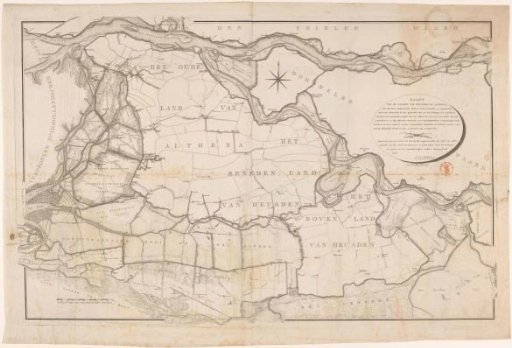
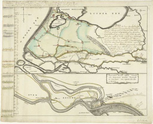
Map of the high water at the Lekdikes, March 1751
From the collection of Rijksmuseum, Amsterdam. Free to download, adapt and use — no permission needed.
About this work
Map of the river region in Holland, Utrecht, and Gelderland with the high water level in the rivers Lek and Waal, March 1751. Left: water levels above and below Amsterdam Ordnance Datum. With various handwritten texts and inscriptions in the image. Bottom right the mention of a name: Ey. J. Schouten.
Rijksmuseum, Amsterdam’s own descriptionCredit lineKaart van het hoge water aan de Lekdijken, maart 1751. 1751. anonymous. Rijksmuseum, Amsterdam. Public domain.