Public domain
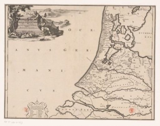
Historical map of the Netherlands with the territories of the Batavians and Frisians
From the collection of Rijksmuseum, Amsterdam. Free to download, adapt and use — no permission needed.
About this work
Map of the Frisian areas in western Netherlands in Roman times. Cartouche with title in the upper left, around it a hunter, a farmer and a fisherman depicted. Scale bar below cartouche: Triens gradus. Cartouche in the lower left with a number of ancient places not depicted on the map because their exact location could no longer be determined. Degree distribution along the left and right edges.
Rijksmuseum, Amsterdam’s own descriptionCredit lineHistorische kaart van Nederland met de gebieden van de Bataven en Friezen. 1697 - 1700. Gerrit de Broen (I). Rijksmuseum, Amsterdam. Public domain.
Similar works
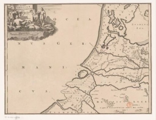 Historical map of the Netherlands with the territories of the Batavians and Frisians
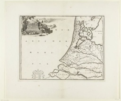 Historical map of the Netherlands with the territories of the Batavians and Frisians
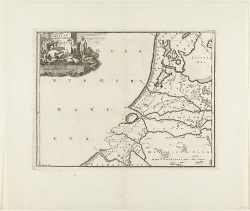 Historical map of the Netherlands with the territories of the Batavians and Frisians
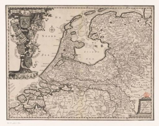 Map of the Republic of the Seven United Netherlands
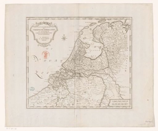 Historical map of the Netherlands in the second half of the sixteenth century
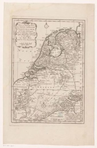 Map of the Republic of the Seven United Netherlands