Public domain
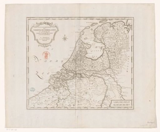
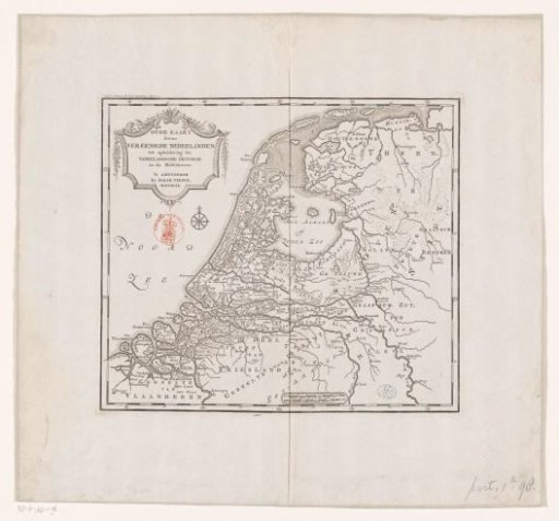
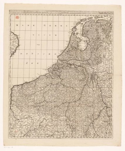
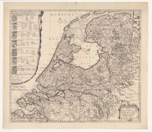
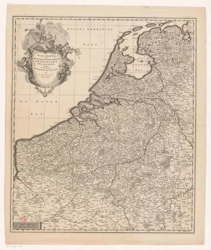
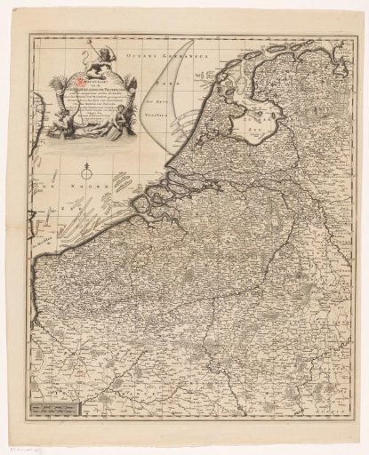
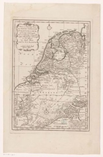
Map of the Republic of the Seven United Netherlands
From the collection of Rijksmuseum, Amsterdam. Free to download, adapt and use — no permission needed.
About this work
Map of the Republic of the Seven United Netherlands. Top left a cartouche with the title of the print and the scale division: English miles. Along the edges of the print a degree division. The lower part of the print shows an inset map with the seacoasts of Holland, Zeeland, Flanders, and England with depth soundings.
Rijksmuseum, Amsterdam’s own descriptionCredit lineKaart van de Republiek der Zeven Verenigde Nederlanden. 1776. Jan van Jagen. Rijksmuseum, Amsterdam. Public domain.