Public domain
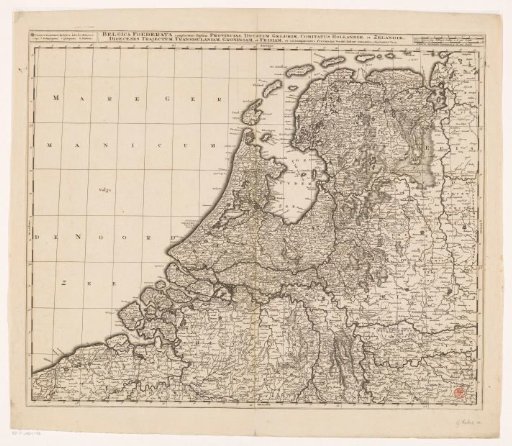
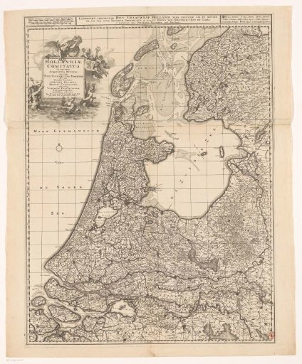
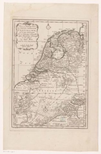
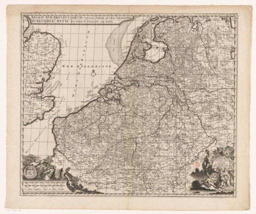
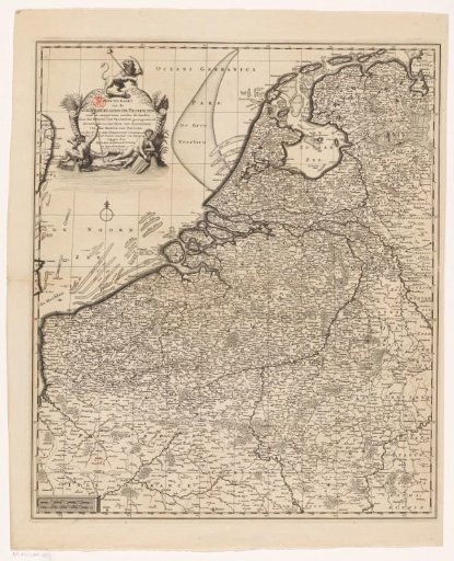
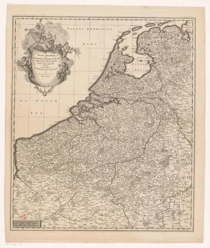
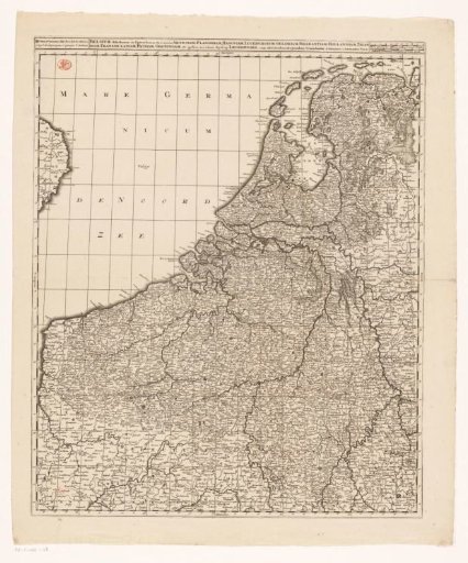
Map of the Seventeen Provinces
From the collection of Rijksmuseum, Amsterdam. Free to download, adapt and use — no permission needed.
About this work
Map of the Seventeen Provinces. On the left a legend. To the right of the title two scales: Milliaria Gallica and Milliaria Germanica communia. Along the edges a degree division. The print is provided with a coordinate grid. In the margin the names of the wind directions.
Rijksmuseum, Amsterdam’s own descriptionSubjects
Credit lineKaart van de Zeventien Provinciën. c. 1702. Gerard Valck. Rijksmuseum, Amsterdam. Public domain.