Public domain
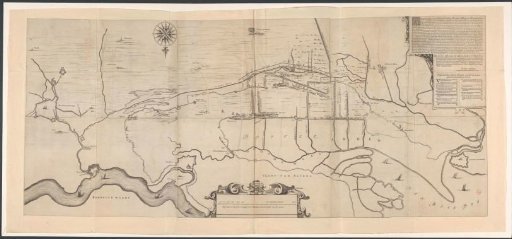
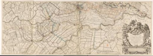
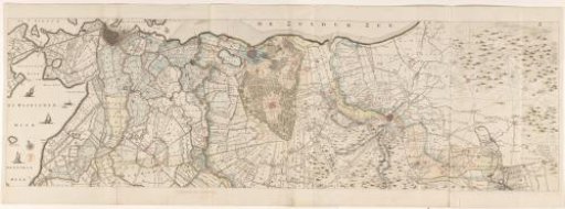
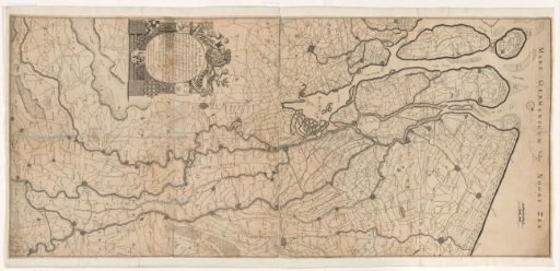
Map of the Course of the Rhine and the Meuse
From the collection of Rijksmuseum, Amsterdam. Free to download, adapt and use — no permission needed.
About this work
Map of the course of the Rhine and the Meuse through the United Netherlands. Bottom left a cartouche with the title surrounded by six coats of arms, including the coat of arms of stadtholder William III of Orange (top), the county of Holland (top left) and the city of Zevenbergen (top right). The other three coats of arms are presumably coats of arms of Zevenbergen regents. Top right two scales: a Dutch Mile of 2000 Rhine rods; a French Mile or one hour's walk. Orientation: north to the right.
Rijksmuseum, Amsterdam’s own descriptionCredit lineKaart van de loop van de Rijn en de Maas. 1691. Andreas van Luchtenburg. Rijksmuseum, Amsterdam. Public domain.