Public domain
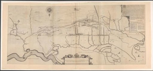
Map of the area west of 's-Hertogenbosch
From the collection of Rijksmuseum, Amsterdam. Free to download, adapt and use — no permission needed.
About this work
Map of the area west of 's-Hertogenbosch. Top right, a cartouche with text about the map and a legend A-O. In the center bottom, a cartouche with a scale: Dese Linie is int geheel Langh 1600 Rijnlantse Roeden sijnde een uijr gaens.
Rijksmuseum, Amsterdam’s own descriptionCredit lineKaart van het gebied ten westen van 's-Hertogenbosch. 1658. anonymous. Rijksmuseum, Amsterdam. Public domain.
Similar works
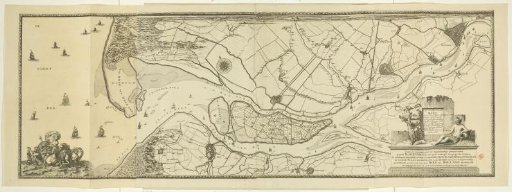 Map of the Maas from Rotterdam to the North Sea
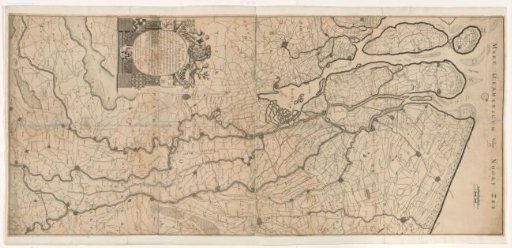 Map of the Course of the Rhine and the Meuse
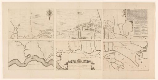 Map of the area between 's-Hertogenbosch and Geertruidenberg with dike breaches, consisting of six sheets
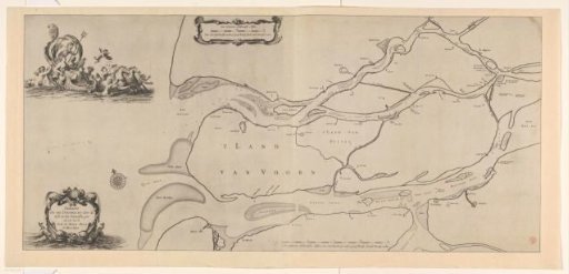 Nautical chart of the South Holland islands
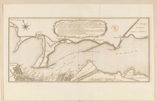 Map of the IJ near Amsterdam
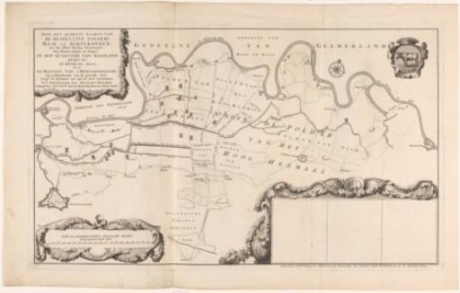 Map of the polders in the Quarter of Maasland