Public domain
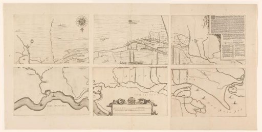
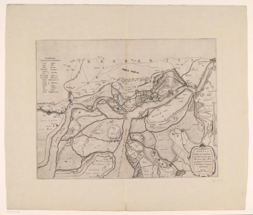
Map of the area between 's-Hertogenbosch and Geertruidenberg with dike breaches, consisting of six sheets
From the collection of Rijksmuseum, Amsterdam. Free to download, adapt and use — no permission needed.
About this work
Map of the area between 's-Hertogenbosch and Geertruidenberg showing dike breaches from the year 1658. Centered below a scale bar: This line is in total 1600 Rhineland rods, being one hour's walk. Top right a cartouche with the title, explanation and legend A-O in Dutch. Orientation: north down.
Rijksmuseum, Amsterdam’s own descriptionCredit lineKaart van het gebied tussen Den Bosch en Geertruidenberg met dijkdoorbraken, bestaande uit zes bladen. 1658 - in or before 1757. anonymous. Rijksmuseum, Amsterdam. Public domain.
Similar works
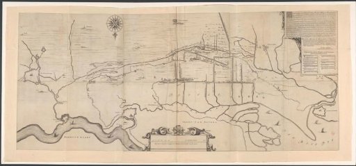 Map of the area west of 's-Hertogenbosch
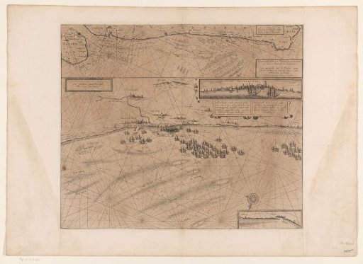 Map of the coast at Dunkirk and of the Flemish coast from Walcheren to Boulogne, 1631
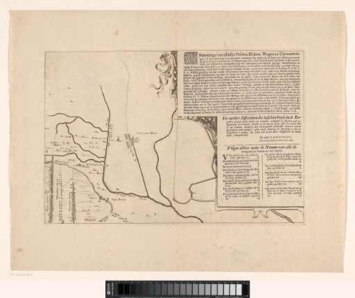 Map of the area between Den Bosch and Geertruidenberg with dike breaches (third sheet)
 Forts on the Eastern and Western Scheldt, 1627
 Map of the Upper Rhine near Spijk (Rijnwaarden)
 Map of the Ahrtal with twenty views of the surroundings