Public domain
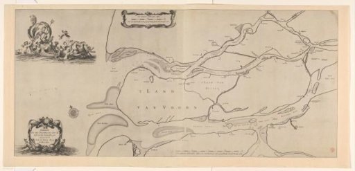
Nautical chart of the South Holland islands
From the collection of Rijksmuseum, Amsterdam. Free to download, adapt and use — no permission needed.
About this work
Sea chart of the South Holland islands, the North Sea, and the mouth of the Meuse and the Haringvliet eastward toward Dordrecht. Top left, Neptune in a triumphal chariot drawn by sea horses. In the chariot, two other figures including a woman (possibly Amphitrite), surrounded by tritons and a putto. Bottom left, the title cartouche. Above left of center, a scale: One common Holland mile, of 2000 Rhineland rods, or 1925 Brielle (also Voorne) rods. Below right of center, another scale: Two common Holland miles, of 2000 Rhineland rods, or 1925 Brielle (also Voorne) rods.
Rijksmuseum, Amsterdam’s own descriptionCredit linePaskaart van de Zuid-Hollandse eilanden. in or before 1680. anonymous. Rijksmuseum, Amsterdam. Public domain.
Similar works
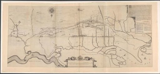 Map of the area west of 's-Hertogenbosch
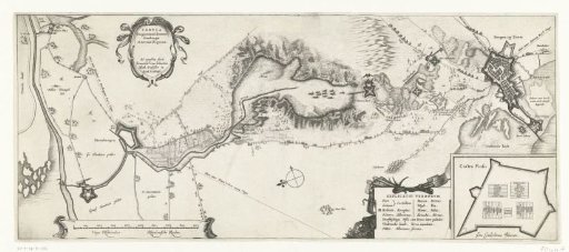 Map of the Siege of Bergen op Zoom, 1622
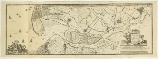 Map of the Maas from Rotterdam to the North Sea
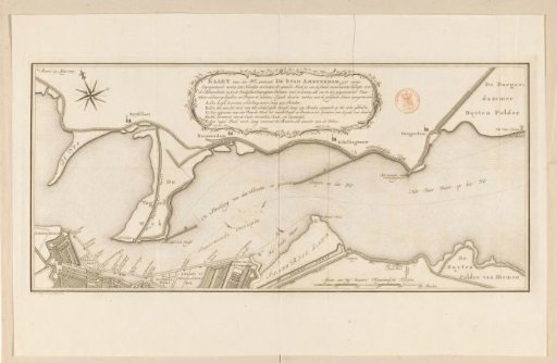 Map of the IJ near Amsterdam
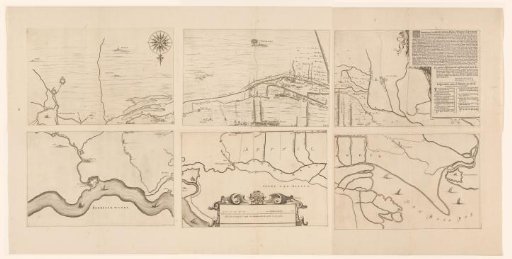 Map of the area between 's-Hertogenbosch and Geertruidenberg with dike breaches, consisting of six sheets
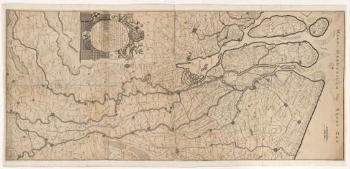 Map of the Course of the Rhine and the Meuse