Public domain
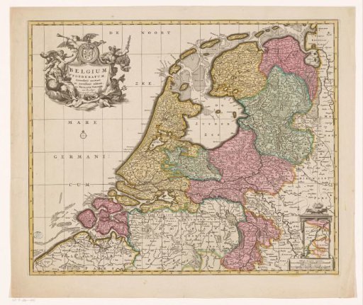
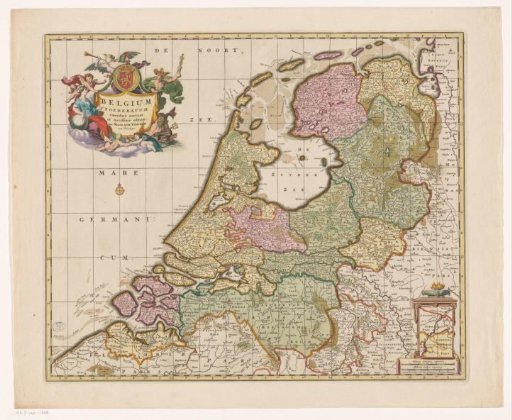
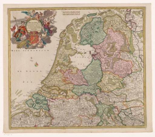
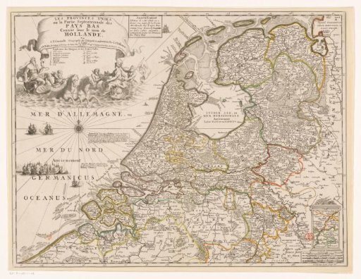
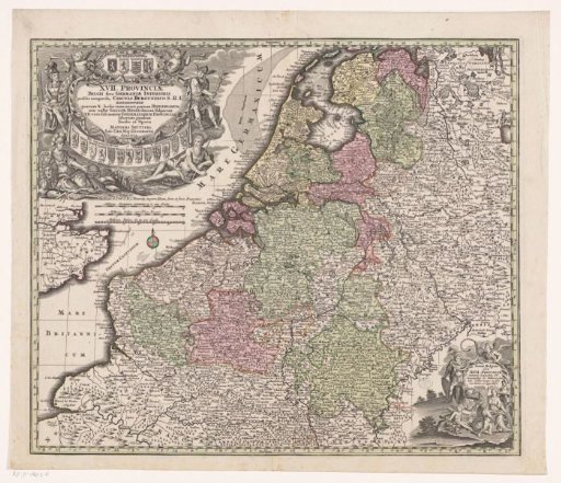
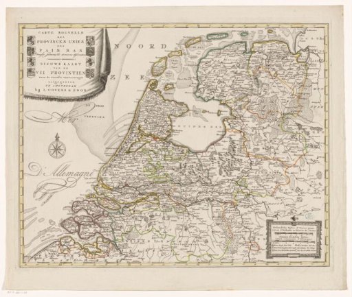
Map of the Republic of the Seven United Netherlands
From the collection of Rijksmuseum, Amsterdam. Free to download, adapt and use — no permission needed.
About this work
Top left cartouche with French and Dutch title and the coats of arms of the Republic and the Seven Provinces. Bottom right cartouche with legend and scale bar: Hollandsche mylen of uuren gaans / Lieues d'Hollande ou heures de chemin, Gemeene Duitsche mylen / Lieues communes d'Allemagne. Degree division along the edges.
Rijksmuseum, Amsterdam’s own descriptionSubjects
Credit lineKaart van de Republiek der Zeven Verenigde Nederlanden. 1787 - 1792. anonymous. Rijksmuseum, Amsterdam. Public domain.