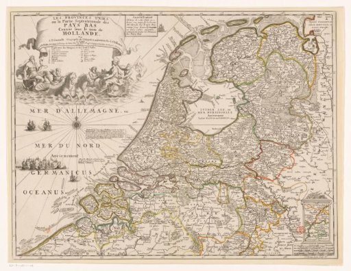
Map of the Republic of the Seven United Netherlands
From the collection of Rijksmuseum, Amsterdam. Free to download, adapt and use — no permission needed.
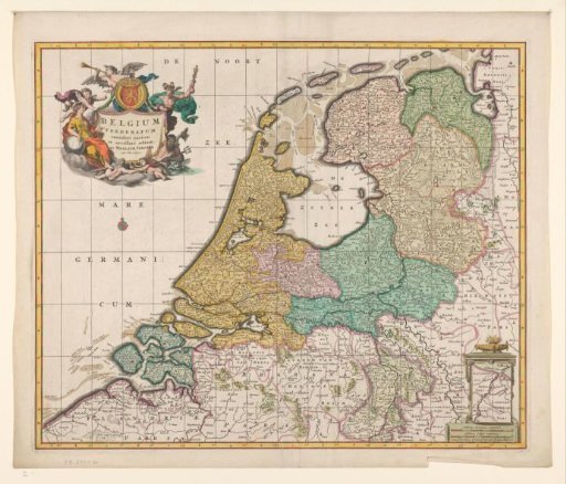
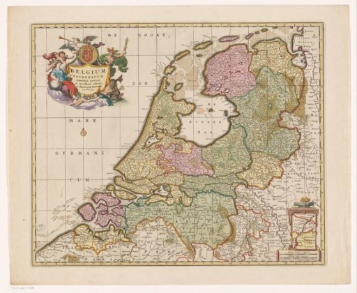
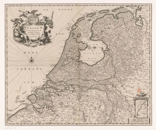
French map of the Republic. Top left cartouche with title, below it a legend and a mythological scene with Neptune, a female figure (possibly Salacia), and three tritons. Next to the title cartouche, a cartouche with an advertisement for a map of the Southern Netherlands by the same publisher. Bottom right cartouche with an inset of a part of present-day Limburg (the part that belonged to Staats-Brabant at the time). Below that, a scale: Milles pas geometriques ou milles d'Italie, Lieües communes d'Allemagne de 4000 pas geom: chacune en Grandes lieües de France, ou lieües d'une heure de chemin de 3000 P.G. chacune. Degree divisions along the edges.
Rijksmuseum, Amsterdam’s own descriptionSimilar works
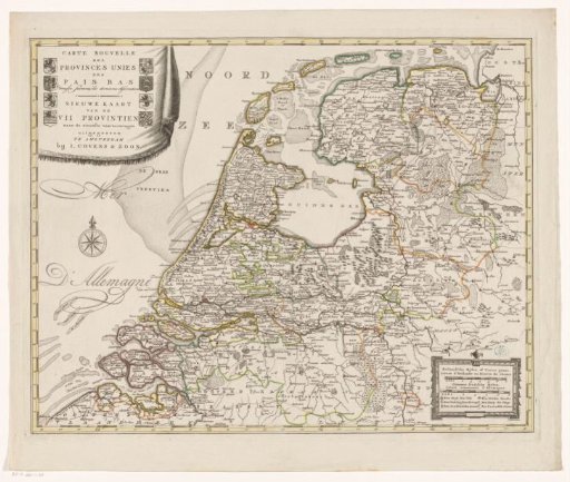 Map of the Republic of the Seven United Netherlands
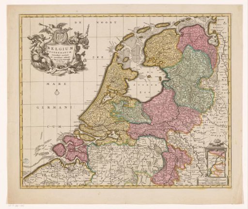 Map of the Republic of the Seven United Netherlands
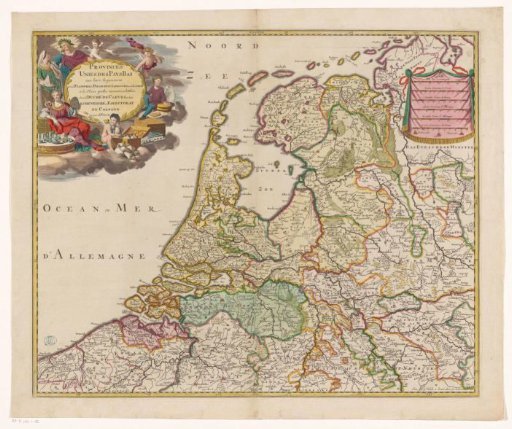 Map of the Republic of the Seven United Netherlands
 Map of the Republic of the Seven United Netherlands
 Map of the Republic of the Seven United Netherlands
 Map of the Republic of the Seven United Netherlands