Public domain
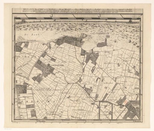
Map of the Hoogheemraadschap of Delfland (Second Part)
From the collection of Rijksmuseum, Amsterdam. Free to download, adapt and use — no permission needed.
About this work
Second part of a map of the Hoogheemraadschap of Delfland consisting of twenty-five parts.
Rijksmuseum, Amsterdam’s own descriptionCredit lineKaart van het Hoogheemraadschap van Delfland (tweede deel). 1712 - 1735. Luggert van Anse. Rijksmuseum, Amsterdam. Public domain.
Similar works
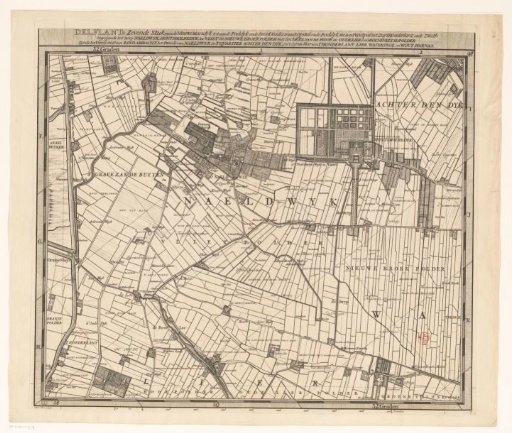 Map of the Hoogheemraadschap of Delfland (seventh part)
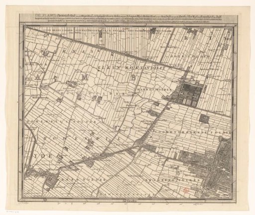 Map of the Hoogheemraadschap of Delfland (thirteenth part)
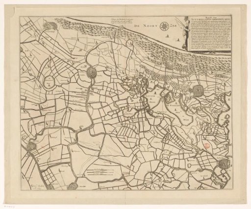 Historical Map of a Part of South and North Holland
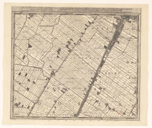 Map of the Hoogheemraadschap of Delfland (eighteenth part)
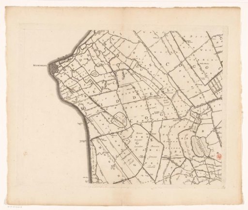 Map of Kennemerland and West-Friesland (sixth part)
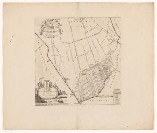 Map of the grietenij Aengwirden