Public domain
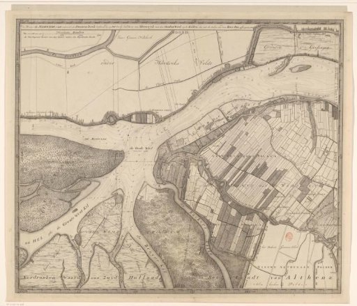
Map of the Merwede, from Hardinxveld to beyond Sleeuwijk
From the collection of Rijksmuseum, Amsterdam. Free to download, adapt and use — no permission needed.
About this work
Map of the Merwede, from Hardinxveld to beyond the village of Sleeuwijk. Scale bar in the upper left: 300 Rhynland rods; the ten thousand rods of this map make one Rhynland rod. Depth lines are indicated in the river. Degree divisions along the edges. Also the left part of a larger map of the Merwede.
Rijksmuseum, Amsterdam’s own descriptionCredit lineKaart van de Merwede, van Hardinxveld tot voorbij Sleeuwijk. 1730. David Coster. Rijksmuseum, Amsterdam. Public domain.
Similar works
 Map of the Maas from Rotterdam to the North Sea (third part)
 Map of Kennemerland and West-Friesland (ninth part)
 Map of the Buiksloter-, Broeker- and Belmermeerpolder
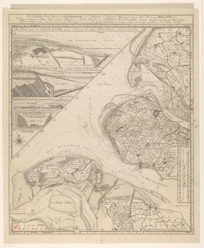 Map of the island of Goeree and surrounding areas
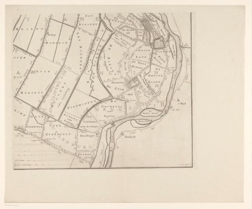 Map of the Five Lords' Lands (lower right section)
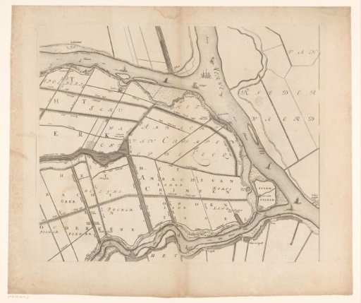 Map of the Hoogheemraadschap of the Krimpenerwaard (third part of the map)