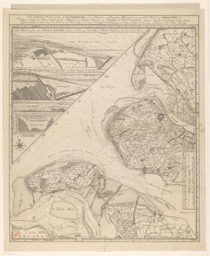
Map of the island of Goeree and surrounding areas
From the collection of Rijksmuseum, Amsterdam. Free to download, adapt and use — no permission needed.
The map revolves around the island of Goeree, also known as Goedereede or West-Voorne (lower left). In addition, parts of other South Holland islands (Overflakkee, Voorne, Rozenburg) and a part of the South Holland mainland are visible. In the upper left corner an insert with two maps, a profile and a tide graph. In the lower right corner three scale bars: 2000 Rhineland, Delft and Schieland rods, the 1970 make a German mile of 15 in a degree; 2000 Brielle or Voorne rods; 4000 geometric paces or fathoms, the 1000 make a minute in latitude, or an Italian mile, each fathom is 5 91/100 Rhineland feet. Depth lines are indicated in the water. Degree distribution along the edges.
Rijksmuseum, Amsterdam’s own descriptionSimilar works
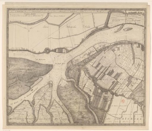 Map of the Merwede, from Hardinxveld to beyond Sleeuwijk
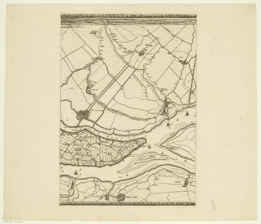 Map of the Maas from Rotterdam to the North Sea (third part)
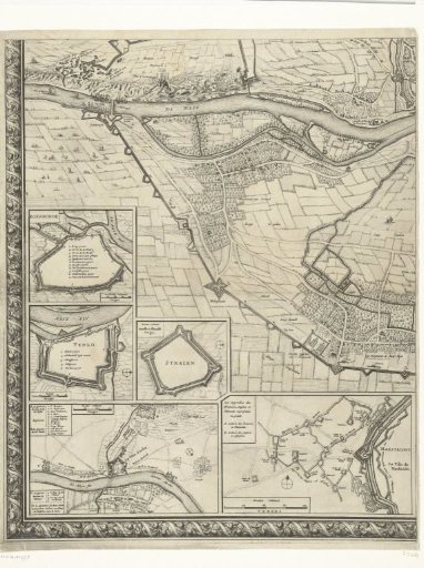 Large map of the siege of Maastricht, 1632, plate 4
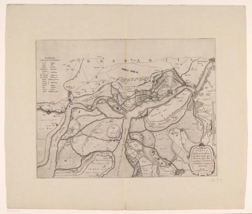 Forts on the Eastern and Western Scheldt, 1627
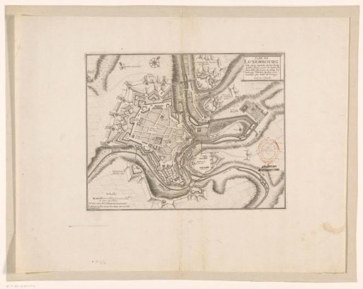 Fortress map of Luxembourg
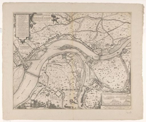 Map with the siege and capture of Schenkenschans by Frederick Henry, 1635-1636