Public domain
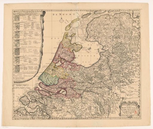
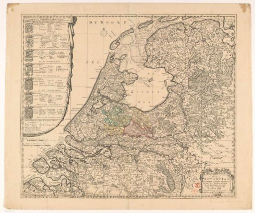
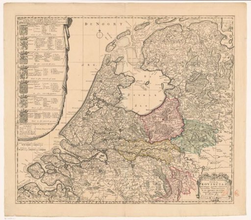
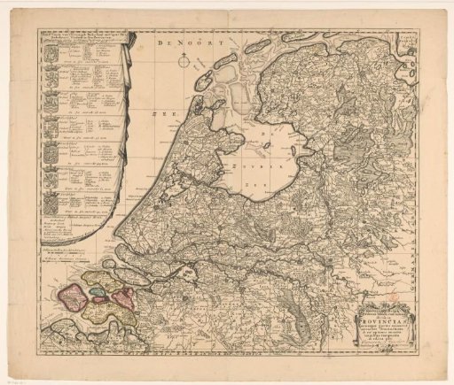
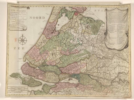
Map of South Holland, divided into districts, 1796
From the collection of Rijksmuseum, Amsterdam. Free to download, adapt and use — no permission needed.
About this work
Map of South Holland, divided into districts. In the upper left corner a cartouche with the title and legend. In the lower left corner a cartouche with three scale bars: Scale of 6000 Rhineland rods; Scale of 4200 South Holland rods; Scale of three German miles. In the upper right corner a cartouche with explanation about and the names of the districts. Degree distribution along the edges.
Rijksmuseum, Amsterdam’s own descriptionSubjects
Credit lineKaart van Zuid-Holland, verdeeld in districten, 1796. 1796. Cornelis van Baarsel. Rijksmuseum, Amsterdam. Public domain.