Public domain
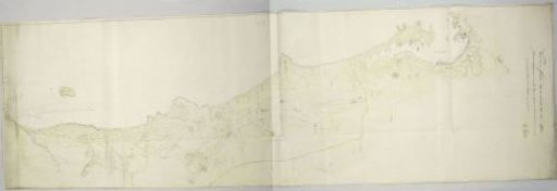
Map of the Lek River, consisting of seven parts
From the collection of Rijksmuseum, Amsterdam. Free to download, adapt and use — no permission needed.
About this work
Map of the river Lek, from Krimpen aan de Lek to Hagestein. Bottom left a cartouche with the second title. To the right of it a scale bar: 900 Rhynland rods. This scale bar is repeated seven more times along the top and once along the bottom. In the middle top a banner with the first title. Along a large part of the bottom a blank cartouche is visible, intended for graphics with surveyed river depths. Probably this was not finished due to lack of time.
Rijksmuseum, Amsterdam’s own descriptionCredit lineKaart van de rivier de Lek, bestaande uit zeven delen. 1764 - 1765. Rijksmuseum, Amsterdam. Public domain.