Public domain
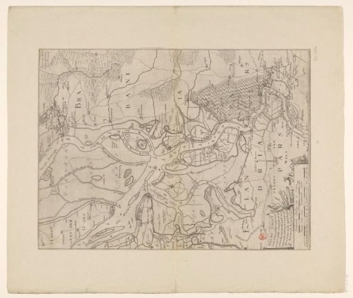
Map of the Eastern and Western Scheldt, 1631
From the collection of Rijksmuseum, Amsterdam. Free to download, adapt and use — no permission needed.
About this work
Map of the Ooster- and Westerschelde in 1631. Bottom left a cartouche with the title and below it two scale bars: Brabantsche roeden of 20 feet; Scala of two Brabantsche miles.
Rijksmuseum, Amsterdam’s own descriptionCredit lineKaart van de Ooster- en Westerschelde, 1631. 1631. Pieter Verbiest (II). Rijksmuseum, Amsterdam. Public domain.
Similar works
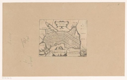 Map of the polder de Heerhugowaard
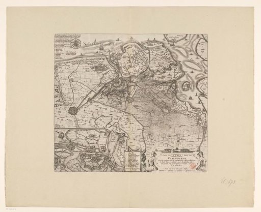 Map of Zeelandic Flanders with an inset of Sluis and the fortifications in its vicinity
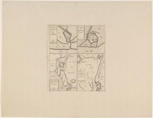 Fortress plans of Fort Saint-Ambrosius, Fort Saint-Martin, the Kruisdijk Schans, Fort Saint-Jacob, Fort Stabroek, Fort van Pekgat
 Hilly Landscape with Several Figures
 Map of the siege of Groenlo, 1627
 Map of East Flanders