Public domain
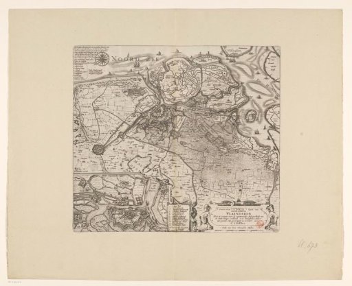
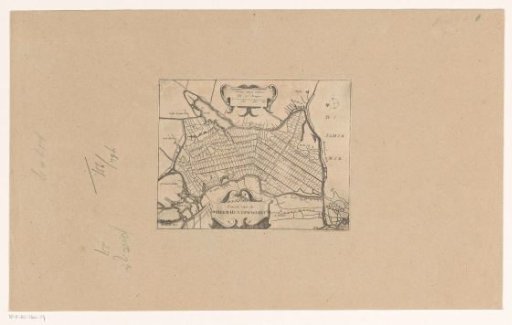
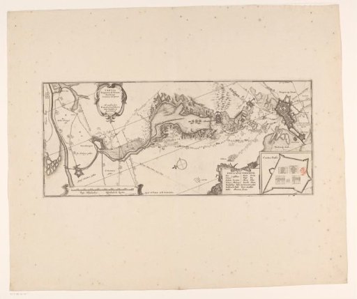
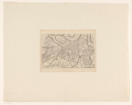
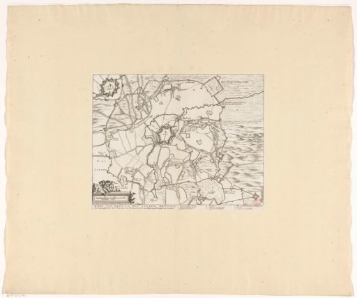
Map of the siege of Groenlo, 1627
From the collection of Rijksmuseum, Amsterdam. Free to download, adapt and use — no permission needed.
About this work
Map of the siege of Groenlo, 1627. Centrally, the city of Groenlo, surrounded by the quarters of the besieging troops. In the upper left, a cartouche with a plan of the city with the renewed fortifications. In the lower left, a scale bar: Rynlandtsche roeden. In the caption, the title and the legend 1-9 in Dutch.
Rijksmuseum, Amsterdam’s own descriptionCredit lineKaart van het beleg van Groenlo, 1627. 1681. anonymous. Rijksmuseum, Amsterdam. Public domain.