Public domain
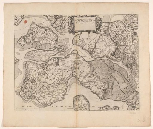
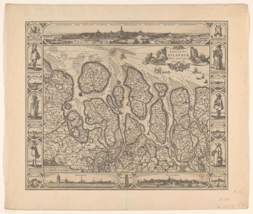
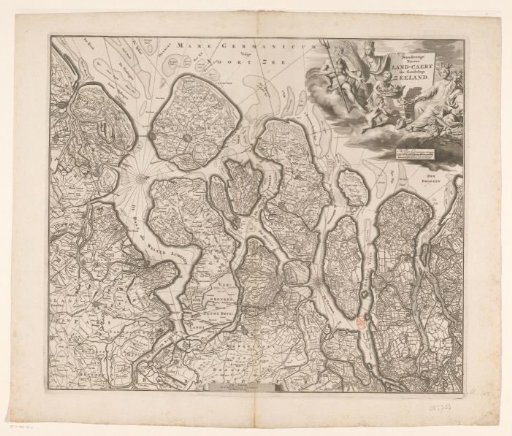
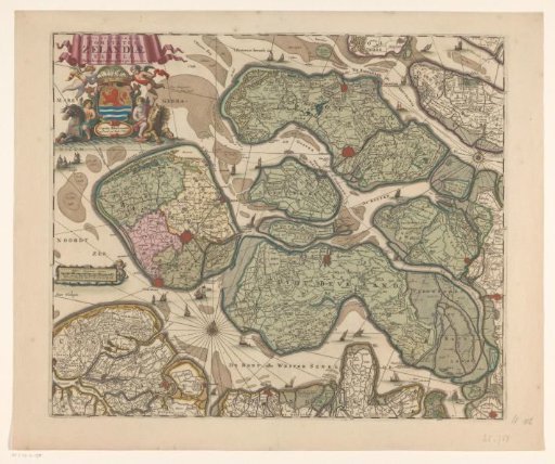
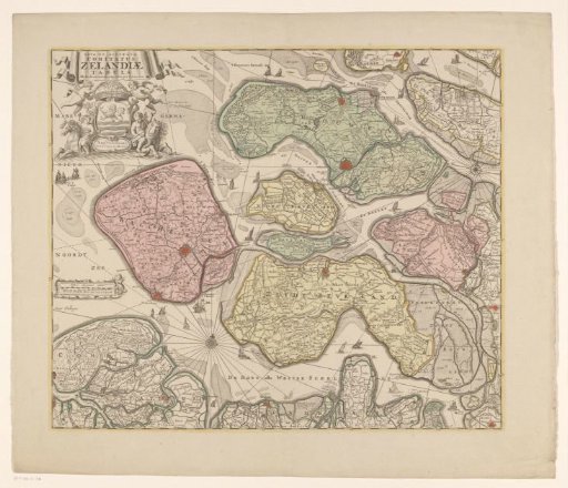
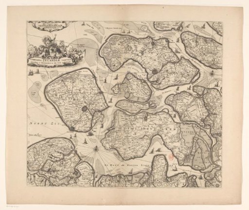
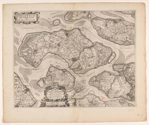
Map of Schouwen-Duiveland and Tholen
From the collection of Rijksmuseum, Amsterdam. Free to download, adapt and use — no permission needed.
About this work
Schouwen-Duiveland and Tholen, the Zeeland islands east of the Oosterschelde, are central on this map. Top left the title cartouche. Below, left of center, a cartouche with the coat of arms and the dedication to Justus (Jodocus) de Huybert and a scale bar: 3/4 Milliaris Germanici / 1500 Bloyse roeden. On the verso Latin text.
Rijksmuseum, Amsterdam’s own descriptionCredit lineKaart van Schouwen-Duiveland en Tholen. 1662. anonymous. Rijksmuseum, Amsterdam. Public domain.