Public domain
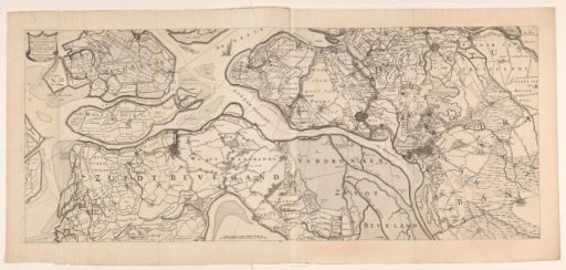
Map of the islands of Noord-Beveland, Wolphaartsdijk, and Zuid-Beveland and the Marquisate of Bergen op Zoom
From the collection of Rijksmuseum, Amsterdam. Free to download, adapt and use — no permission needed.
About this work
Top left the title cartouche. Below, left of center, a scale bar: Scale of 1000 Bloysche rods making half a common German mile.
Rijksmuseum, Amsterdam’s own descriptionCredit lineKaart van de eilanden Noord-Beveland, Wolphaartsdijk en Zuid-Beveland en het markiezaat Bergen op Zoom. 1655. anonymous. Rijksmuseum, Amsterdam. Public domain.
Similar works
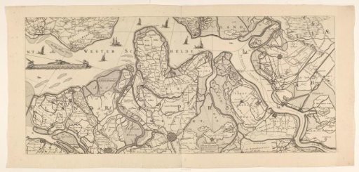 Map of Most of State Flanders
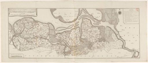 Map of Zeelandic Flanders
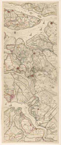 Map of Parts of Schouwen-Duiveland, Zuid-Beveland, the Marquisate of Bergen op Zoom, and State Flanders
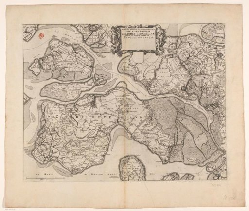 Map of the islands of Noord-Beveland, Wolphaartsdijk, and Zuid-Beveland
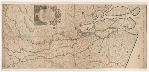 Map of the Course of the Rhine and the Meuse
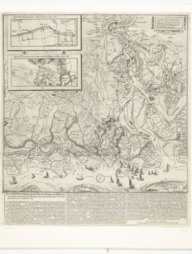 Victory over the Slaak, 1631