Public domain
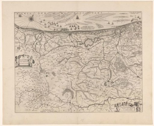
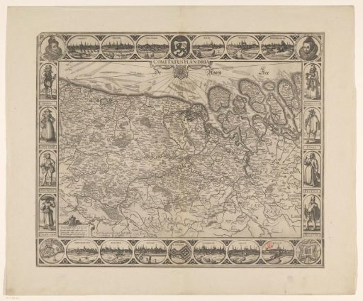
Map of Flanders and Zeeland
From the collection of Rijksmuseum, Amsterdam. Free to download, adapt and use — no permission needed.
About this work
Map of Flanders and Zeeland. Along the top edge town views and in the corners portraits of the Archdukes Albert and Isabella. In the center top the coat of arms of Flanders. On the left and right along the edge costume figures of nobles, burghers, peasants and fishermen. Along the bottom edge town views and fortress plans. In the center top of the map a compass rose. In the lower left a scale: 3 Common Dutch miles 15 in a grid / 4 Dutch miles or hours walking.
Rijksmuseum, Amsterdam’s own descriptionCredit lineKaart van Vlaanderen en Zeeland. 1621 - 1633. anonymous. Rijksmuseum, Amsterdam. Public domain.