Public domain
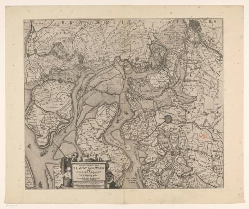
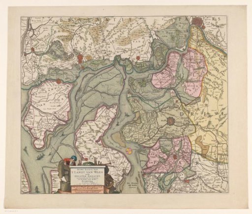
Map of the Waasland and the Hulster Ambacht
From the collection of Rijksmuseum, Amsterdam. Free to download, adapt and use — no permission needed.
About this work
Map of the Waasland and the Hulster Ambacht. Bottom left: a cartouche with title and two scale bars: Schale van een Vlaemsche myle, 15 macken een Graedt, ende houden in 2000 Rynlandtsche Roeden / Een ure gaens, in houdende 1600 Rynlantsche Roede.
Rijksmuseum, Amsterdam’s own descriptionCredit lineKaart van het Waasland en de Hulster Ambacht. 1677 - 1720. anonymous. Rijksmuseum, Amsterdam. Public domain.