Public domain
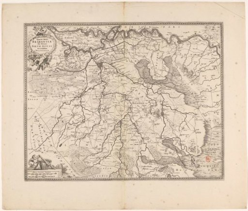
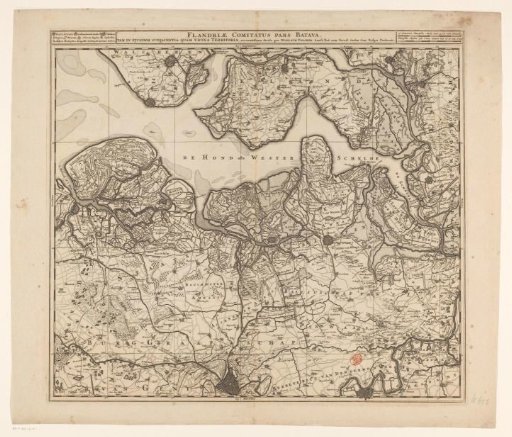
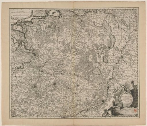
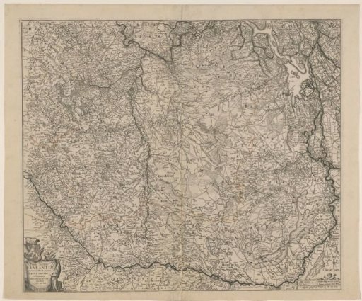
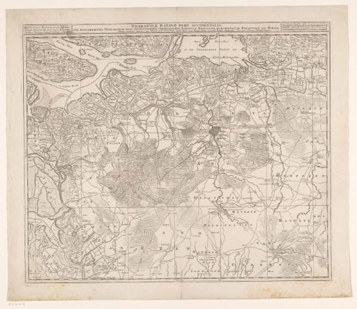
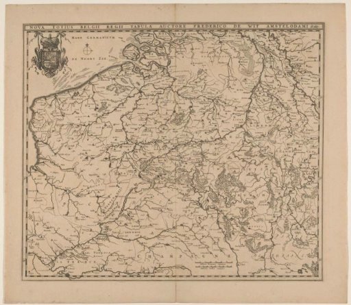
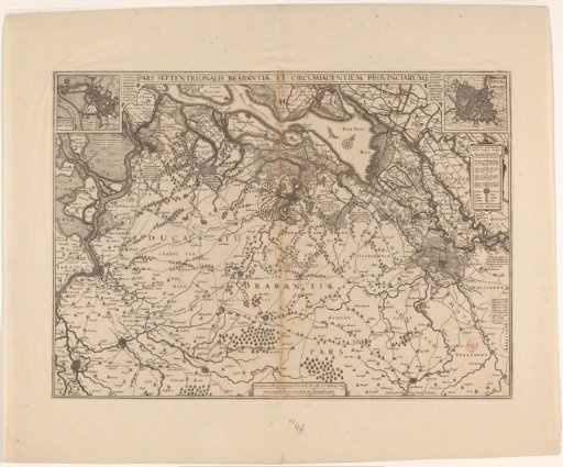
Map of the northwestern part of Brabant
From the collection of Rijksmuseum, Amsterdam. Free to download, adapt and use — no permission needed.
About this work
Map of the northwestern part of Brabant. At the top in the middle a bar with the title. Top left an insert with a plan of Bergen op Zoom. Top right an insert with a plan of Breda. Next to both plans a legend 1-10. Below the insert top right a cartouche with legend. Bottom right a legend 1-5. Below, in the middle, a cartouche with two scale bars: Three common miles 15 in a degree containing each mile 2000 Rijnland rods / Three hours walk each hour containing 1600 Rijnland rods.
Rijksmuseum, Amsterdam’s own descriptionCredit lineKaart van het noordwestelijk deel van Brabant. 1629 - 1645. anonymous. Rijksmuseum, Amsterdam. Public domain.