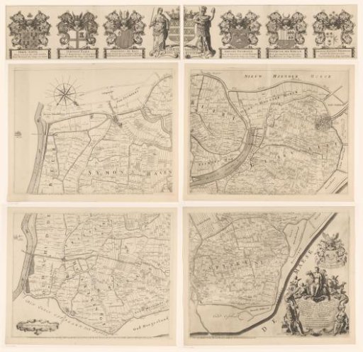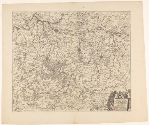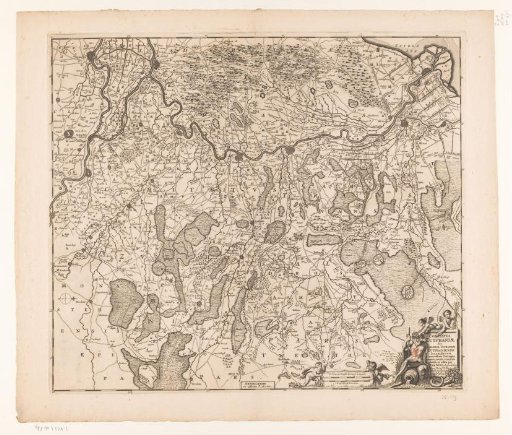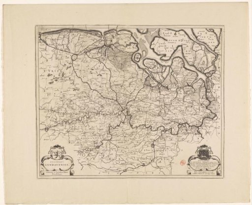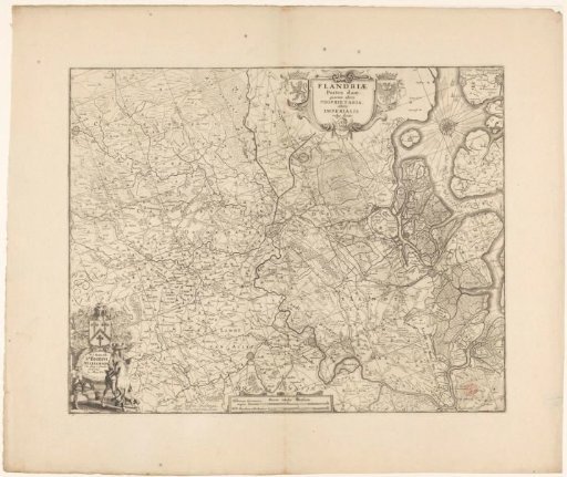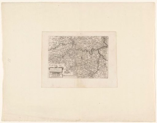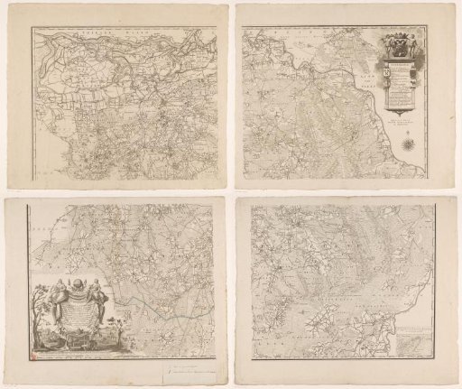
Map of Brabant, consisting of four parts
From the collection of Rijksmuseum, Amsterdam. Free to download, adapt and use — no permission needed.
Map of Brabant, with hand-drawn border lines added, consisting of four parts. Bottom left: title cartouche with two scale bars below: Scale of 4500 Rhynland Rods, according to Professor Lulofs 1479 Rhynland Rods, one hour's travel of 20 hours in a degree / Scale of 3000 's-Hertogenbosch Rods. Top right: cartouche with legend. Above it, the coat of arms of 's-Hertogenbosch, flanked by two wild men. On the left pillar of the cartouche, the coats of arms of Peelland and Oisterwijk; on the right pillar, the coats of arms of Kempenland and Maasland. Bottom right: inset map of the area south of Lommel. The map is provided with a degree distribution along the edges. Bottom left: a handwritten legend pasted on, explaining the different border lines with their colors.
Rijksmuseum, Amsterdam’s own description