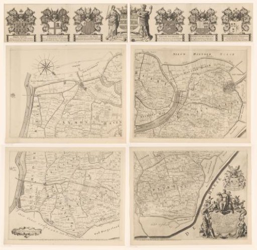
Map of the Ring of Putten, consisting of five parts
From the collection of Rijksmuseum, Amsterdam. Free to download, adapt and use — no permission needed.
Map of the Ring of Putten. This area consisted of nine polders managed by the high water board. Along the top, from left to right, the coats of arms of two high water board members and the chief dike reeve, the coat of arms of the high water board, and the coats of arms of three high water board members. Bottom left: a scale bar reading "Scale of two hundred Putse rods." Bottom right: the coat of arms of the secretary. Below that, a cartouche with the title and information. To the left and right of the cartouche, a river god and goddess respectively. Above the cartouche, Ceres with the cornucopia and a sheaf of corn, behind her a cow and a horse, surrounded by putti with attributes referring to agriculture, fishing, and hunting.
Rijksmuseum, Amsterdam’s own descriptionSimilar works
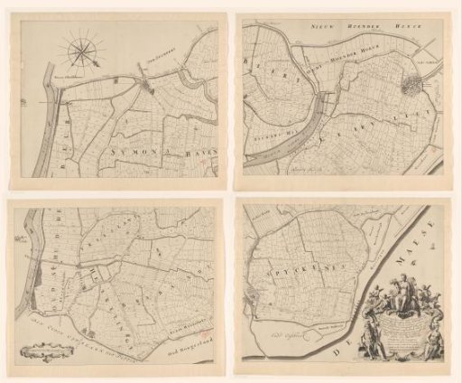 Map of the Ring of Putten, Consisting of Four Parts
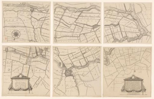 Map of the Hoogheemraadschap of the Krimpenerwaard, consisting of six parts
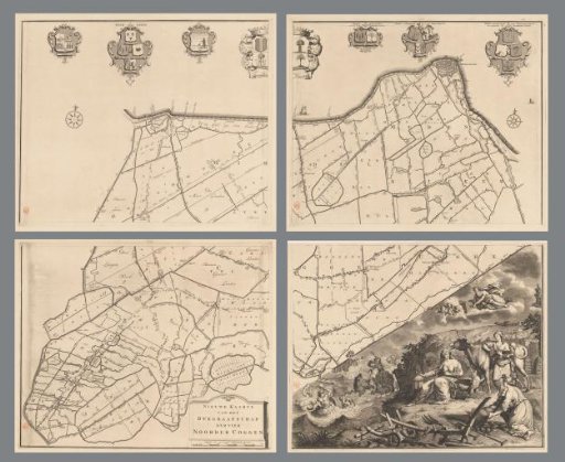 Map of the dike-reeve district of the Four Northern Koggen, consisting of four parts
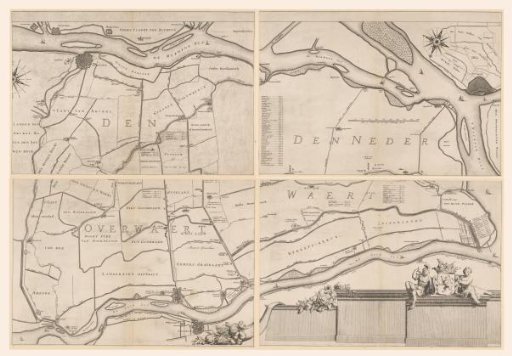 Map of the Overwaard, consisting of four parts
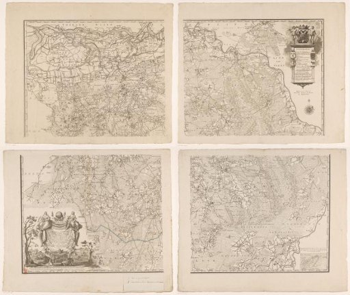 Map of Brabant, consisting of four parts
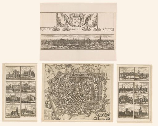 De Kleine Hagen, consisting of three parts