Public domain
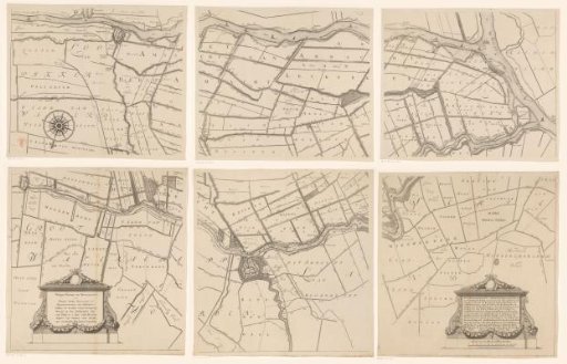
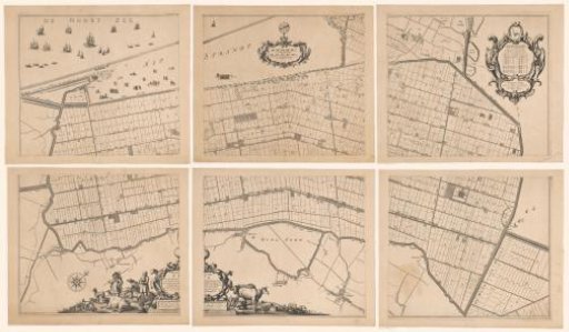
Map of the Hoogheemraadschap of the Krimpenerwaard, consisting of six parts
From the collection of Rijksmuseum, Amsterdam. Free to download, adapt and use — no permission needed.
About this work
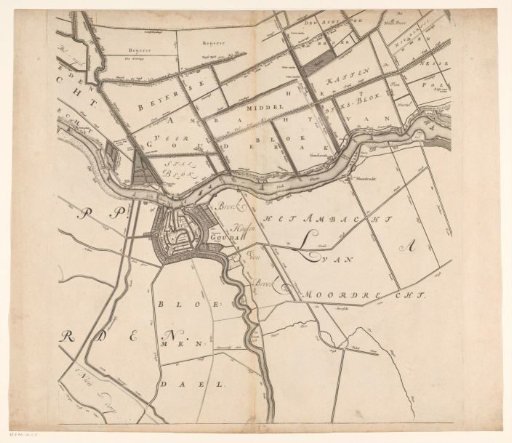
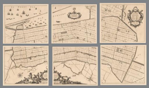
Map of the Hoogheemraadschap of the Krimpenerwaard. In the lower left a cartouche with information and in the lower right a cartouche with information and a scale bar: Scale of 600 Rhynland rods. The accompanying coat-of-arms border is missing.
Rijksmuseum, Amsterdam’s own descriptionCredit lineKaart van het Hoogheemraadschap van de Krimpenerwaard, bestaande uit zes delen. 1683. Johannes Leupenius. Rijksmuseum, Amsterdam. Public domain.
Similar works
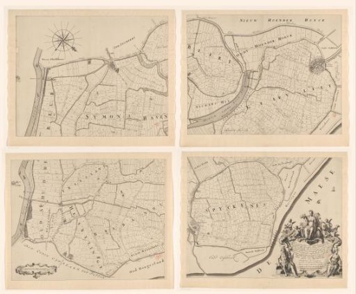 Map of the Ring of Putten, Consisting of Four Parts
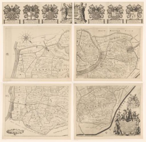 Map of the Ring of Putten, consisting of five parts
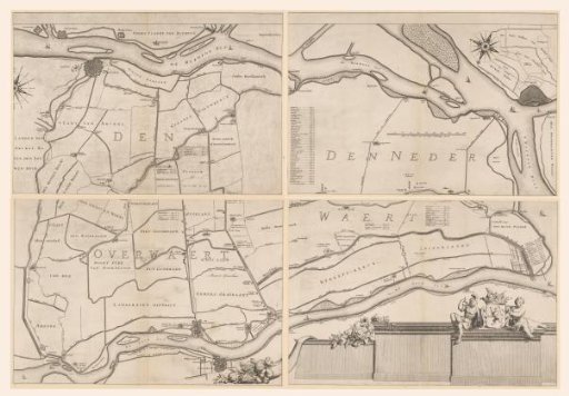 Map of the Overwaard, consisting of four parts
 Map of the Zijpe and Hazepolder, consisting of six parts
 Map of the Hoogheemraadschap of the Krimpenerwaard (fifth part of the map)
 Map of the Zijpe and Hazepolder, consisting of six parts