Public domain
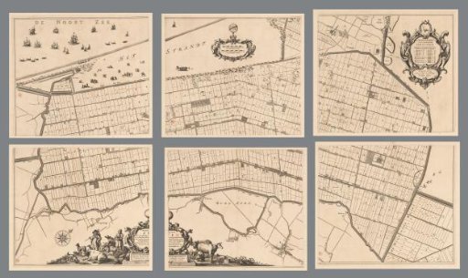
Map of the Zijpe and Hazepolder, consisting of six parts
From the collection of Rijksmuseum, Amsterdam. Free to download, adapt and use — no permission needed.
About this work
At the top center, two scale bars: 250 Hontsbosscher roeden; 250 Rynlantsche roeden. Top right, a cartouche with the coat of arms of the polder and a legend of the land division. Along the bottom, the title cartouche with, to its left, farmers, livestock, agricultural products, and a hunter with hunting dogs. To the right of the cartouche, a milkmaid milking a cow and livestock.
Rijksmuseum, Amsterdam’s own descriptionCredit lineKaart van de Zijpe- en Hazepolder, bestaande uit zes delen. 1665 - 1760. Reinier van Persijn. Rijksmuseum, Amsterdam. Public domain.
Similar works
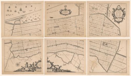 Map of the Zijpe and Hazepolder, consisting of six parts
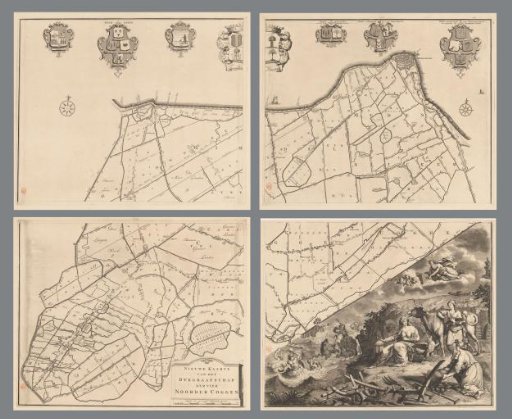 Map of the dike-reeve district of the Four Northern Koggen, consisting of four parts
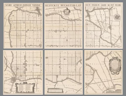 Map of the Beemster, consisting of six parts
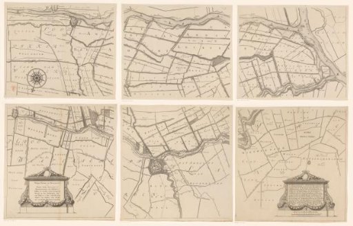 Map of the Hoogheemraadschap of the Krimpenerwaard, consisting of six parts
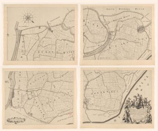 Map of the Ring of Putten, Consisting of Four Parts
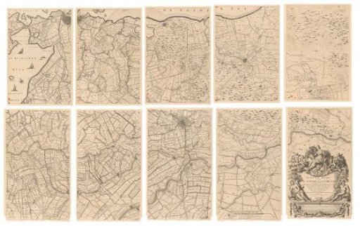 Map of the province of Utrecht, consisting of ten parts