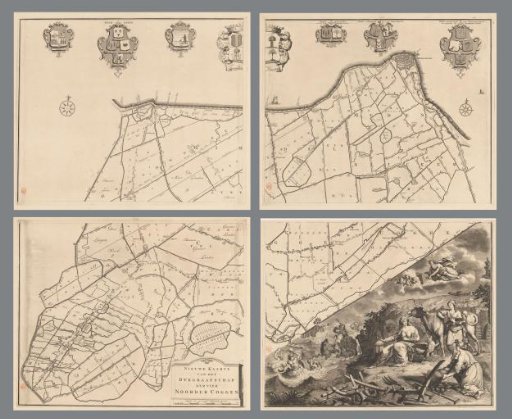
Map of the dike-reeve district of the Four Northern Koggen, consisting of four parts
From the collection of Rijksmuseum, Amsterdam. Free to download, adapt and use — no permission needed.
Top left: the arms of the dike reeve, heemraden, and secretary of the dike district of the Four Northern Koggen. Center top: the arms of the Four Northern Koggen. To the right: the arms of the hoofdingelanden of the Four Northern Koggen, followed by the arms of the hoofdingelanden of Drechterland, and the arms of the hoofdingelanden of Geesterambacht and the Schager and Niedorper Koggen. Bottom left of center: the title cartouche and a scale bar: Scale of eight hundred Rhineland rods. Bottom right: an allegorical representation showing the wind god Aeolus and the stormy sea with tritons and Neptune, pointing to the danger of a dike breach.
Rijksmuseum, Amsterdam’s own descriptionSimilar works
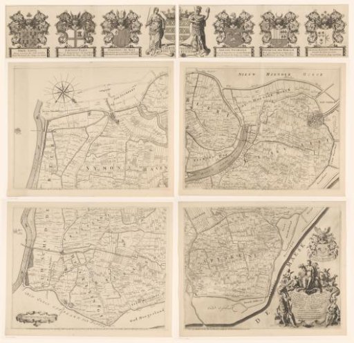 Map of the Ring of Putten, consisting of five parts
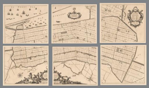 Map of the Zijpe and Hazepolder, consisting of six parts
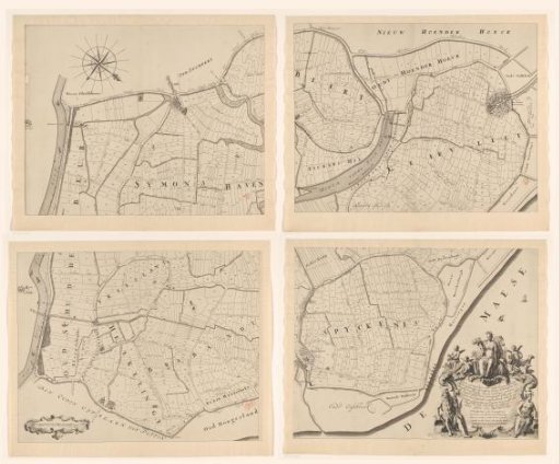 Map of the Ring of Putten, Consisting of Four Parts
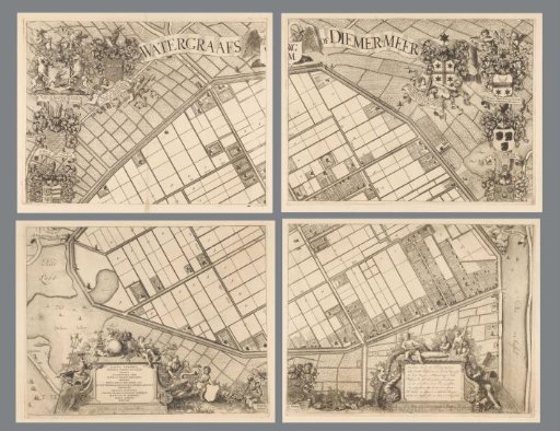 Map of the Watergraafsmeer, consisting of four parts
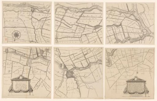 Map of the Hoogheemraadschap of the Krimpenerwaard, consisting of six parts
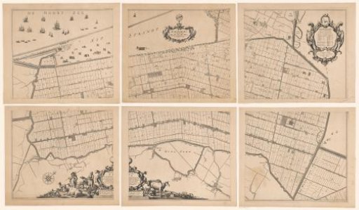 Map of the Zijpe and Hazepolder, consisting of six parts