Public domain
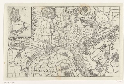
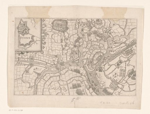
Map of Sluis besieged by Maurice, 1604
From the collection of Rijksmuseum, Amsterdam. Free to download, adapt and use — no permission needed.
About this work
Sluis besieged by Maurice, May–18 August 1604. Map of the city of Sluis and the surrounding area, with Aardenburg in the upper left. In the upper left, an inset with a fortification plan of IJzendijke. Without the legend.
Rijksmuseum, Amsterdam’s own descriptionCredit lineKaart van het door Maurits belegerde Sluis, 1604. 1604 - 1610. Bartholomeus Willemsz. Dolendo. Rijksmuseum, Amsterdam. Public domain.