Public domain
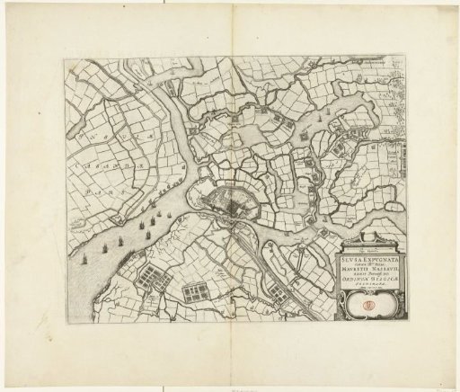
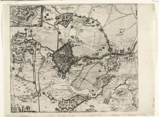
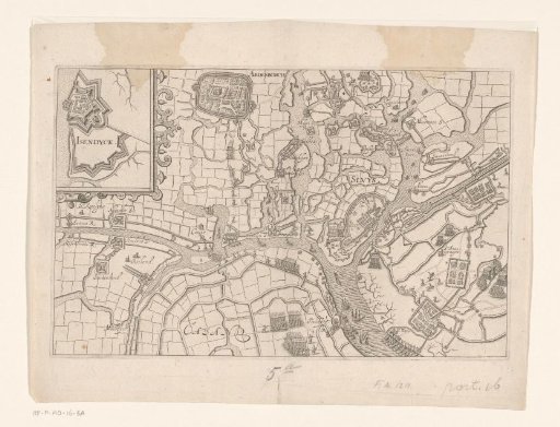
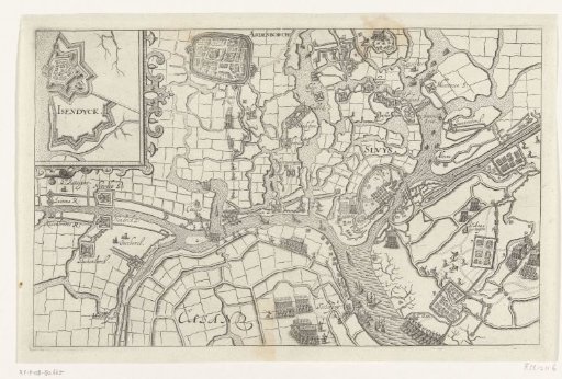
Map of Sluis besieged by Maurice, 1604
From the collection of Rijksmuseum, Amsterdam. Free to download, adapt and use — no permission needed.
About this work
Sluis besieged by Maurice, May – 19 August 1604. Map of the city of Sluis and the surrounding land with Aardenburg in the top left corner. Top left an inset with a fortress plan of IJzendijke. Without the legend.
Rijksmuseum, Amsterdam’s own descriptionCredit lineKaart van het door Maurits belegerde Sluis, 1604. 1604 - 1610. Bartholomeus Willemsz. Dolendo. Rijksmuseum, Amsterdam. Public domain.