Public domain
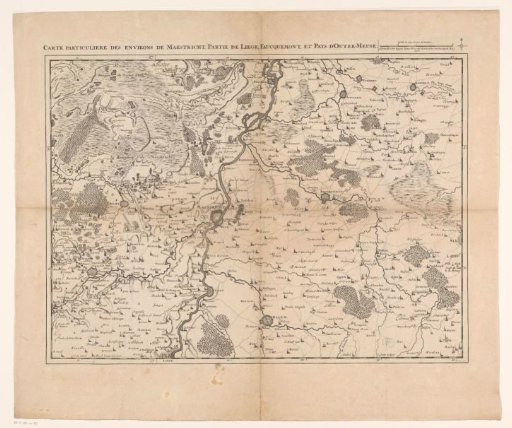
Map of Limburg with the surroundings of Maastricht, 1708
From the collection of Rijksmuseum, Amsterdam. Free to download, adapt and use — no permission needed.
About this work
Map of Limburg with the surroundings of Maastricht, part of Liège and Valkenburg, 1708. In the top right a scale bar: Echelle de deux Lieues de Brabant. The map is provided with a degree division along the edges.
Rijksmuseum, Amsterdam’s own descriptionSubjects
Credit lineKaart van Limburg met de omgeving rond Maastricht, 1708. 1708 - 1712. Jacobus Harrewijn. Rijksmuseum, Amsterdam. Public domain.
Similar works
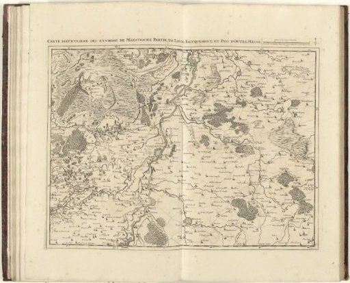 Map of Limburg with the surroundings of Maastricht, 1708
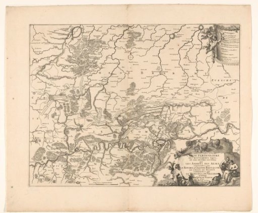 Map showing the positions of the Allies and the French during the siege of Namur, 1695
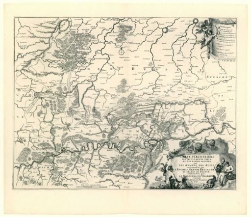 Map showing the positions of the allies and the French during the siege of Namur, 1695
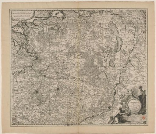 Map of the Duchy of Brabant
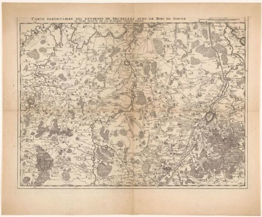 Map of the area west of Brussels
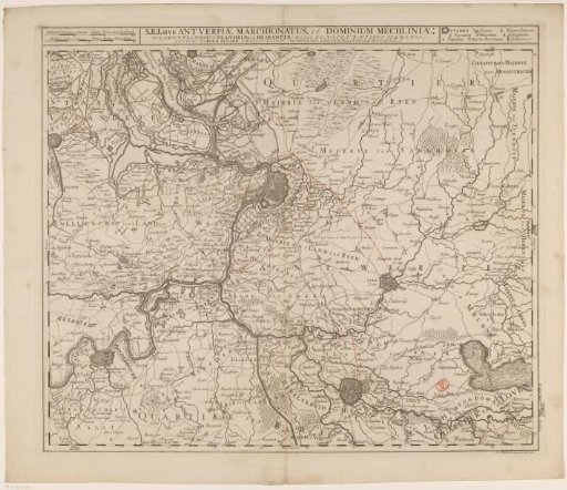 Map of the Quarter of Antwerp, Part of the Duchy of Brabant